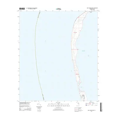
2015 Map of Saint Joseph Point
USGS Topo · Published 2015About this map
Saint Joseph Point defines the northern terminus of a slender coastal landform along the Florida panhandle, where the waters of the Gulf of Mexico meet the protected expanse of Saint Joseph Bay. This 2015 survey reveals the fragile, dynamic geography of the Saint Joseph Peninsula, characterized by a series of narrow dunes and shifting shorelines. The map details a specialized road network serving the southern portion of the quadrangle, including residential and access ways such as Secluded Dunes Dr and Cabin Rd. Significant coastal features like Eagle Harbor emphasize the area's maritime orientation, while the surveyed township lines of t7s r12w and t8s r12w provide a cadastral framework for this unique spit of land within Gulf County.
Find a feature on this map
13 named features on this map. Tap any name to fly to it.
Don’t see what you’re looking for? This feature index may not catch every label — zoom into the map to look around manually.
Map Details
Editions of this 2015 Saint Joseph Point Map
This is the sole edition of this map. No revisions or reprints were ever made.
Other maps of this area

1943 · St Joseph Spit
USGS Topo · 1:31,680

1943 · Port St. Joe
USGS Topo · 1:31,680

1943 · Cape San Blas
USGS Topo · 1:31,680

1943 · Overstreet
USGS Topo · 1:31,680

1943 · Crooked Island
USGS Topo · 1:31,680

1944 · Beacon Hill
USGS Topo · 1:31,680

1945 · St Joseph Point
USGS Topo · 1:31,680

1949 · Apalachicola
USGS Topo · 1:250,000
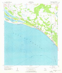
1956 · Beacon Hill
USGS Topo · 1:24,000
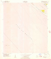
1956 · Crooked Island
USGS Topo · 1:24,000