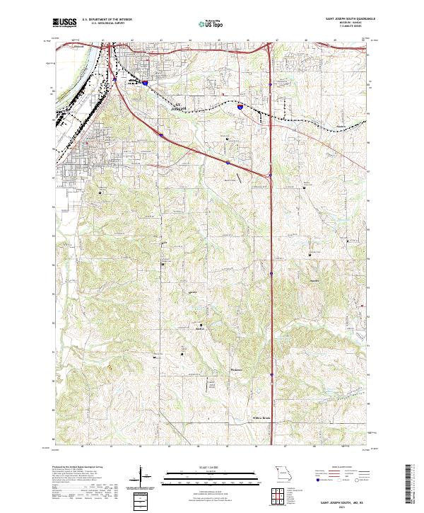
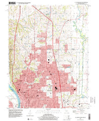
2021 Map of Saint Joseph South
USGS Topo · Published 2021About this map
The south side of St. Joseph and the village of Elwood define this landscape along the Missouri River corridor, showing the urban-to-rural transition in Buchanan County. To the south, a pattern of small settlements and historical markers like Old Sparta Cem and Sparta Ch suggest the earlier community hubs of Maxey, Kyle, and Agency. The terrain is characterized by the winding paths of Contrary Creek and Pigeon Creek, which feed into numerous small bodies of water such as Little Ozark Fishing Lake and Ussary Lake. Transportation infrastructure is prominent, from the Kansas Missouri rail line to the Lawlor-Justus Airport, illustrating how modern connectivity overlies a landscape still dotted with family-named landmarks like McPheeters Lake and Ralphs Lake.
Find a feature on this map
119 named features on this map. Tap any name to fly to it.
Don’t see what you’re looking for? This feature index may not catch every label — zoom into the map to look around manually.
Map Details
Editions of this 2021 Saint Joseph South Map
This is the sole edition of this map. No revisions or reprints were ever made.
Historical Maps of Agency Through Time
10 maps found
1961 Halls
Buchanan County, MO
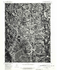
1971 St. Joseph North
Buchanan County, MO
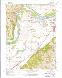
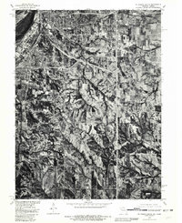
1971 St. Joseph South
Buchanan County, MO
1980 St. Joseph North
Buchanan County, MO
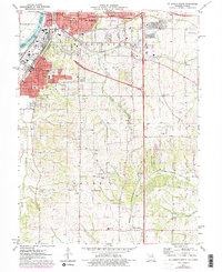
1980 St. Joseph South
Buchanan County, MO
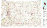
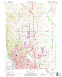
1986 Saint Joseph
Buchanan County, MO
1997 St. Joseph North
Buchanan County, MO
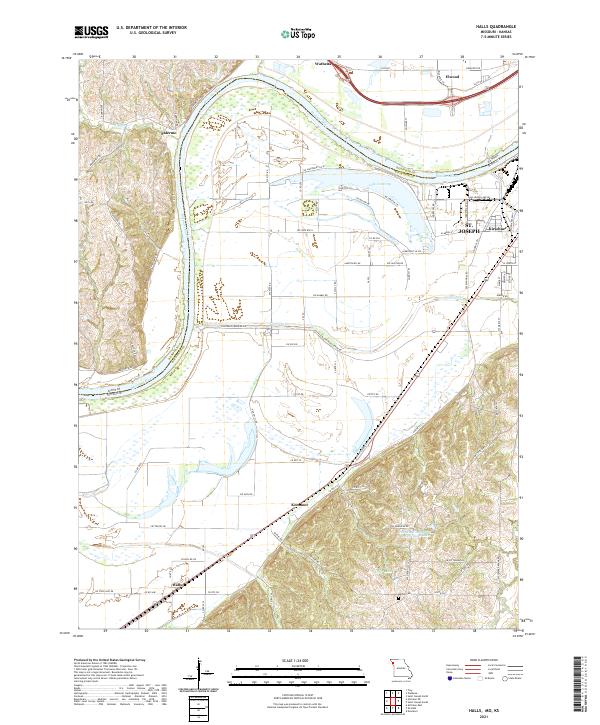
2021 Halls
Buchanan County, MO
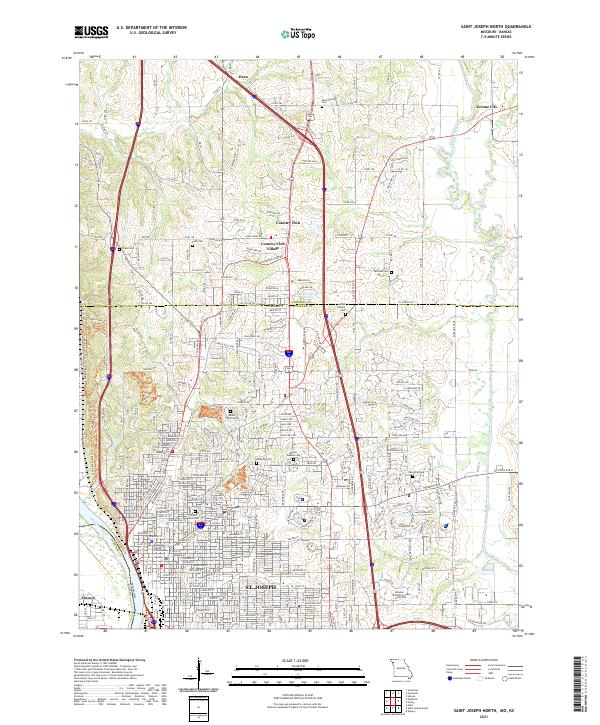
2021 Saint Joseph North
Buchanan County, MO
2021 Saint Joseph South
Buchanan County, MO