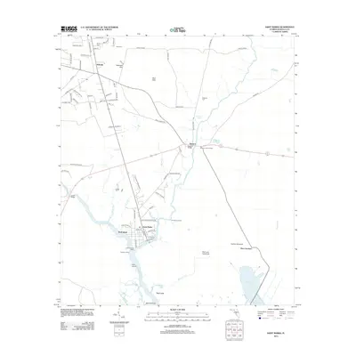
2012 Map of Saint Marks
USGS Topo · Published 2012About this map
Saint Marks sits at the confluence of the Wakulla River and the Saint Marks River, a site defined by its deep maritime and military history. The presence of Old Fort Saint Marks at the river junction highlights the strategic importance of this coastal access point, while the nearby namesake for Port Leon and Fig Tree Landing point to the area's early 19th-century commercial attempts along the marshy banks.
Find a feature on this map
84 named features on this map. Tap any name to fly to it.
Don’t see what you’re looking for? This feature index may not catch every label — zoom into the map to look around manually.
Map Details
Editions of this 2012 Saint Marks Map
This is the sole edition of this map. No revisions or reprints were ever made.
Other maps of this area

1940 · Tallahassee
USGS Topo · 1:62,500

1940 · Arran
USGS Topo · 1:62,500

1942 · Tallahassee
USGS Topo · 1:62,500

1943 · Arran
USGS Topo · 1:62,500

1943 · Tallahassee
USGS Topo · 1:62,500

1954 · Sprague Island
USGS Topo · 1:24,000

1954 · Cody
USGS Topo · 1:24,000

1954 · Woodville
USGS Topo · 1:24,000

1954 · St. Marks NE
USGS Topo · 1:24,000

1954 · St. Marks
USGS Topo · 1:24,000