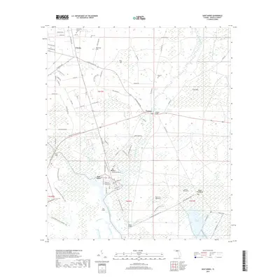
2018 Map of Saint Marks
USGS Topo · Published 2018About this map
St. Marks and the surrounding Wakulla County wetlands are defined by the convergence of the Saint Marks River and its intricate network of bayous and creeks. This 2018 survey documents a landscape where the river dictates the pattern of settlement and transport, from the established town of St. Marks to the historic inland communities of Newport and Wakulla. The geography is dotted with significant karst features and springs, including Patterson Sink, Blue Sink, and Newport Spring, which characterize the limestone-heavy hydrology of this coastal region. Moving south toward the Gulf, the terrain transitions into a mosaic of tidal marshes and hammocks such as Port Leon Hammock and Collins Hammock. Genealogists and local historians can locate several rural burial grounds, including Magnolia Cem, Mays Cem, and Stewart Cem, which remain as fixed markers of the area's heritage amidst the shifting aquatic landscape of Stony Bayou and E River Pool.
Find a feature on this map
88 named features on this map. Tap any name to fly to it.
Don’t see what you’re looking for? This feature index may not catch every label — zoom into the map to look around manually.
Map Details
Editions of this 2018 Saint Marks Map
This is the sole edition of this map. No revisions or reprints were ever made.
Other maps of this area

1940 · Tallahassee
USGS Topo · 1:62,500

1940 · Arran
USGS Topo · 1:62,500

1942 · Tallahassee
USGS Topo · 1:62,500

1943 · Arran
USGS Topo · 1:62,500

1943 · Tallahassee
USGS Topo · 1:62,500

1954 · Sprague Island
USGS Topo · 1:24,000

1954 · Cody
USGS Topo · 1:24,000

1954 · Woodville
USGS Topo · 1:24,000

1954 · St. Marks NE
USGS Topo · 1:24,000

1954 · St. Marks
USGS Topo · 1:24,000