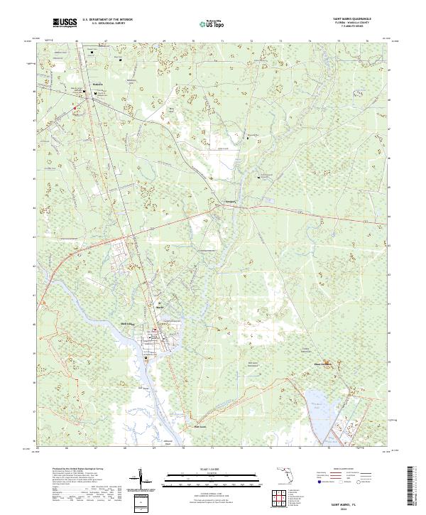
2024 Map of Saint Marks
USGS Topo · Published 2024About this map
St Marks sits at the confluence of the Wakulla River and the Saint Marks River, a site of significant historical strategic importance reflected in the presence of the Fort San Marcos de Apalache Gem. This coastal landscape is dominated by the sprawling Saint Marks National Wildlife Refuge, which encompasses the tidal marshes and hammocks of the Florida Panhandle. The map documents several established settlements and smaller locales like Newport, Port Leon, and Plum Orchard, along with numerous family and community cemeteries such as Magnolia Cem and Stewart Cem.
Find a feature on this map
103 named features on this map. Tap any name to fly to it.
Don’t see what you’re looking for? This feature index may not catch every label — zoom into the map to look around manually.
Map Details
Editions of this 2024 Saint Marks Map
This is the sole edition of this map. No revisions or reprints were ever made.
Other maps of this area

1940 · Tallahassee
USGS Topo · 1:62,500

1940 · Arran
USGS Topo · 1:62,500

1942 · Tallahassee
USGS Topo · 1:62,500

1943 · Arran
USGS Topo · 1:62,500

1943 · Tallahassee
USGS Topo · 1:62,500

1954 · Sprague Island
USGS Topo · 1:24,000

1954 · Cody
USGS Topo · 1:24,000

1954 · Woodville
USGS Topo · 1:24,000

1954 · St. Marks NE
USGS Topo · 1:24,000

1954 · St. Marks
USGS Topo · 1:24,000