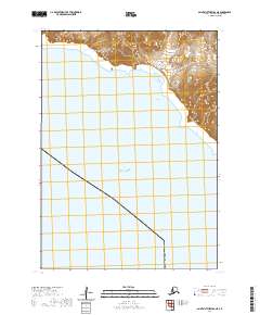
2020 Map of Saint Matthew B-6 NE
USGS Topo · Published 2020About this map
Saint Matthew Island rises from the cold waters of the Bering Sea in this isolated corner of the Bethel Census Area. The map captures a specialized coastal landscape where steep cliffs meet the ocean, and the interior is marked by the distinct topographic contours of the island's high ground. Because this is a modern topographic survey, it provides precise elevation data for the northern reaches of the island, including the rugged shoreline transitions between the land and the sea. The geography here is defined by its remoteness, showing no permanent settlements or infrastructure, but instead documenting the natural boundary between the island's landmass and the vast surrounding waters. The survey is particularly valuable for its clear depiction of the island's physical form and the surrounding maritime environment at the start of the 2020s.
Find a feature on this map
5 named features on this map. Tap any name to fly to it.
Don’t see what you’re looking for? This feature index may not catch every label — zoom into the map to look around manually.
Map Details
Editions of this 2020 Saint Matthew B-6 NE Map
This is the sole edition of this map. No revisions or reprints were ever made.
Other maps of this area
1951 · St Matthew
USGS Topo · 1:250,000

1969 · St. Matthew
USGS Topo · 1:250,000
2020 · Saint Matthew C-6 OE E SW
USGS Topo · 1:25,000
2020 · Saint Matthew C-6 SW
USGS Topo · 1:25,000
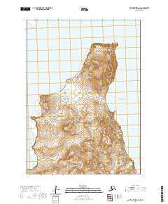
2020 · Saint Matthew C-6 SE
USGS Topo · 1:25,000
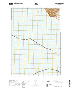
2020 · Saint Matthew B-5 SW
USGS Topo · 1:25,000
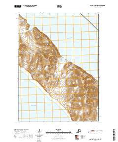
2020 · Saint Matthew B-5 NW
USGS Topo · 1:25,000