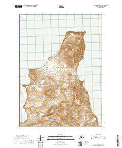
2020 Map of Saint Matthew C-6 SE
USGS Topo · Published 2020About this map
Saint Matthew Island dominates this 2020 topographic study of the remote Bering Sea landscape. The island's northern reaches are defined by high, narrow ridges and deep valleys that terminate at the coast in prominent landmarks like the Glory of Russia Cape and Bull Seal Point. To the west, the Sarichef Strait separates the island from nearby landmasses, while the vast Bering Sea surrounds the remaining shoreline. This map provides an intricate look at the uninhabited terrain, showing the precise elevation contours and drainage patterns that characterize this subarctic maritime environment. The lack of infrastructure or settlements underscores the isolation of the island, which is managed as part of a protected wilderness area.
Find a feature on this map
9 named features on this map. Tap any name to fly to it.
Don’t see what you’re looking for? This feature index may not catch every label — zoom into the map to look around manually.
Map Details
Editions of this 2020 Saint Matthew C-6 SE Map
This is the sole edition of this map. No revisions or reprints were ever made.
Other maps of this area
1951 · St Matthew
USGS Topo · 1:250,000

1969 · St. Matthew
USGS Topo · 1:250,000
2020 · Saint Matthew C-6 OE E SW
USGS Topo · 1:25,000
2020 · Saint Matthew C-6 SW
USGS Topo · 1:25,000
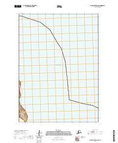
2020 · Saint Matthew C-6 NE
USGS Topo · 1:25,000
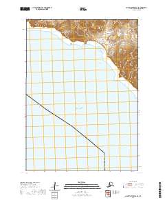
2020 · Saint Matthew B-6 NE
USGS Topo · 1:25,000
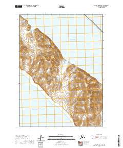
2020 · Saint Matthew B-5 NW
USGS Topo · 1:25,000
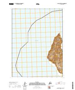
2020 · Saint Matthew C-6 NW
USGS Topo · 1:25,000