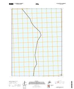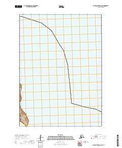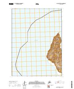
2020 Map of Saint Matthew C-6 NW
USGS Topo · Published 2020About this map
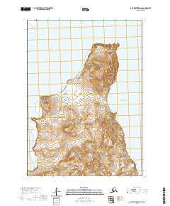
Hall Island rises from the Bering Sea in this topographical study, defined by its steep coastal elevations and maritime landmarks. The landmass is anchored by Cape Hall on its western edge, while distinctive geological features like Elephant Rock to the northeast and Arre Rock to the south serve as critical navigational aids in these subarctic waters. The survey illustrates the stark isolation of this environment, where the terrain reaches over 1,500 feet at its central peaks. Without roads or settlements, the map focuses on the natural contouring of the island and the surrounding marine boundaries of t7n r136w and t6n r136w, providing an essential record for maritime history and geographical study in the Bethel Census Area.
Find a feature on this map
7 named features on this map. Tap any name to fly to it.
Don’t see what you’re looking for? This feature index may not catch every label — zoom into the map to look around manually.
Map Details
Editions of this 2020 Saint Matthew C-6 NW Map
This is the sole edition of this map. No revisions or reprints were ever made.