2020 Map of Saint Matthew C-6 NE
USGS Topo · Published 2020About this map
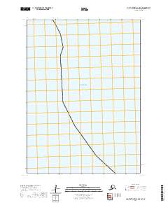
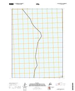
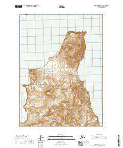
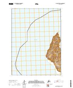
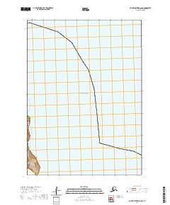
Bering Sea waters dominate this 2020 coastal survey within the Bethel Census Area. The map highlights the maritime boundary and the Public Land Survey System grid, including divisions for T7n R135w, T6n R135w, and T6n R136w. While the terrestrial portion is limited to a small coastal segment in the southwest corner, the topography is clearly defined by detailed contour lines. This specific coastal interface provides a precise look at the shoreline at a single point in time, documenting the intersection of sea and survey lines in an area where few other landmarks are recorded.
Find a feature on this map
4 named features on this map. Tap any name to fly to it.
Don’t see what you’re looking for? This feature index may not catch every label — zoom into the map to look around manually.
Map Details
Editions of this 2020 Saint Matthew C-6 NE Map
This is the sole edition of this map. No revisions or reprints were ever made.