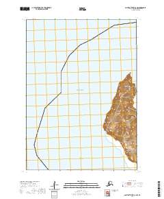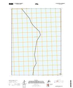
2020 Map of Saint Matthew C-6 SW
USGS Topo · Published 2020About this map
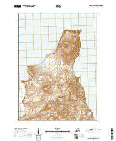
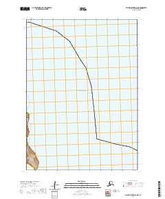
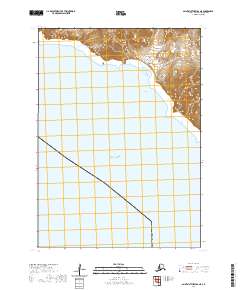
Kittiwake Head stands as a prominent coastal landmark on this modern topographic sheet of the Bering Sea region in Alaska. The map covers a remote maritime area within the t6n r136w and t5n r136w townships, focused primarily on the coastal interface where the rugged shoreline meets the open water. As a 2020 record of this coastline, the survey provides a precise baseline for understanding the physical geography of this uninhabited landscape, emphasizing natural landforms over human infrastructure. The lack of roads or established settlements reflects the specialized character of this island environment, leaving the topography and coastal features as the primary subjects for study.
Find a feature on this map
4 named features on this map. Tap any name to fly to it.
Don’t see what you’re looking for? This feature index may not catch every label — zoom into the map to look around manually.
Map Details
Editions of this 2020 Saint Matthew C-6 SW Map
This is the sole edition of this map. No revisions or reprints were ever made.