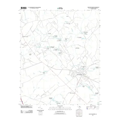
2011 Map of Saint Matthews
USGS Topo · Published 2011About this map
Saint Matthews serves as the focal point of this Calhoun County landscape, where local life centers around the Saint Matthews Post Office and nearby residential streets. The surrounding geography is defined by an intricate network of waterways and private impoundments, reflecting a long history of water management for agriculture and industry. Features such as Bates Mill Creek, Doodle Hill Pond, and Speigners Pond punctuate the terrain, while the rural communities of Totness, Hammond Crossroads, and Wertz Crossroads anchor the outlying areas.
Find a feature on this map
125 named features on this map. Tap any name to fly to it.
Don’t see what you’re looking for? This feature index may not catch every label — zoom into the map to look around manually.
Map Details
Editions of this 2011 Saint Matthews Map
This is the sole edition of this map. No revisions or reprints were ever made.
Other maps of this area

1943 · Eastover
USGS Topo · 1:62,500

1946 · Elloree
USGS Topo · 1:62,500

1946 · St. Matthews
USGS Topo · 1:62,500

1948 · Hopkins
USGS Topo · 1:62,500

1953 · Saylors Lake
USGS Topo · 1:24,000

1953 · Gadsden
USGS Topo · 1:24,000

1953 · Wateree
USGS Topo · 1:24,000

1954 · Augusta
USGS Topo · 1:250,000

1957 · Augusta
USGS Topo · 1:250,000

1958 · Augusta
USGS Topo · 1:250,000