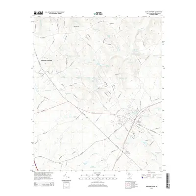
2014 Map of Saint Matthews
USGS Topo · Published 2014About this map
St. Matthews serves as the focal point of this Calhoun County landscape, where the intersection of Old State Rd and Saint Matthews Rd defines the local transport network. The area is characterized by a high density of named water features and agricultural lowlands, including the broad Buyck Bottom and the wetlands surrounding Dieks Swamp. Local history is reflected in the numerous family-named landmarks like Peter Buycks House Pond and Strickland Pond, suggesting a legacy of private land ownership and small-scale water management. Smaller communities such as Totness, Hammond Crossroads, and Wertz Crossroads anchor the surrounding rural space. Evidence of early industry and community infrastructure appears through Rileys Millpond and the W End Cem, while the modern landscape includes the Waste Stabilization Pond and Lake Inspiration.
Find a feature on this map
122 named features on this map. Tap any name to fly to it.
Don’t see what you’re looking for? This feature index may not catch every label — zoom into the map to look around manually.
Map Details
Editions of this 2014 Saint Matthews Map
This is the sole edition of this map. No revisions or reprints were ever made.
Other maps of this area

1943 · Eastover
USGS Topo · 1:62,500

1946 · Elloree
USGS Topo · 1:62,500

1946 · St. Matthews
USGS Topo · 1:62,500

1948 · Hopkins
USGS Topo · 1:62,500

1953 · Saylors Lake
USGS Topo · 1:24,000

1953 · Gadsden
USGS Topo · 1:24,000

1953 · Wateree
USGS Topo · 1:24,000

1954 · Augusta
USGS Topo · 1:250,000

1957 · Augusta
USGS Topo · 1:250,000

1958 · Augusta
USGS Topo · 1:250,000