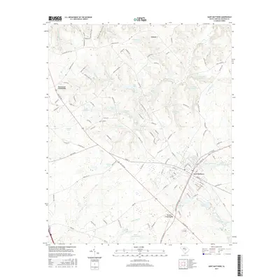
2017 Map of Saint Matthews
USGS Topo · Published 2017About this map
Saint Matthews serves as the primary hub in this Calhoun County landscape, where the Southern railroad line cuts through the town center. The settlement is anchored by local institutions such as Saint Matthews High Sch, West End Cem, and St Matthews Ch. Outside the main town, the geography is defined by a dense network of swampy drainages and managed ponds, including Dicks Swamp, Saddler Swamp, and Buycks Swamp Pond. These water features, alongside namesake landmarks like Wannamakers Pond and Dents Pond, reflect a landscape deeply tied to its hydrology.
Find a feature on this map
128 named features on this map. Tap any name to fly to it.
Don’t see what you’re looking for? This feature index may not catch every label — zoom into the map to look around manually.
Map Details
Editions of this 2017 Saint Matthews Map
This is the sole edition of this map. No revisions or reprints were ever made.
Other maps of this area

1943 · Eastover
USGS Topo · 1:62,500

1946 · Elloree
USGS Topo · 1:62,500

1946 · St. Matthews
USGS Topo · 1:62,500

1948 · Hopkins
USGS Topo · 1:62,500

1953 · Saylors Lake
USGS Topo · 1:24,000

1953 · Gadsden
USGS Topo · 1:24,000

1953 · Wateree
USGS Topo · 1:24,000

1954 · Augusta
USGS Topo · 1:250,000

1957 · Augusta
USGS Topo · 1:250,000

1958 · Augusta
USGS Topo · 1:250,000