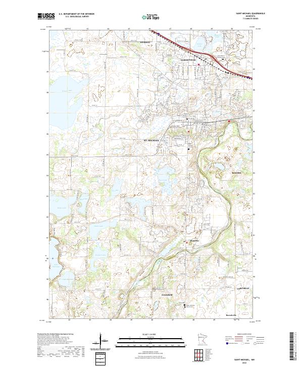
2022 Map of Saint Michael
USGS Topo · Published 2022This historical map portrays the area of Saint Michael in 2022, primarily covering Wright County as well as portions of Hennepin County. Featuring a scale of 1:24000, this map provides a highly detailed snapshot of the terrain, roads, buildings, counties, and historical landmarks in the Saint Michael region at the time. Published in 2022, it is the sole known edition of this map.
Map Details
Editions of this 2022 Saint Michael Map
This is the sole edition of this map. No revisions or reprints were ever made.
Historical Maps of Hanover Through Time
11 maps found
1981 Buffalo East
Wright County, MN
1981 Buffalo West
Wright County, MN
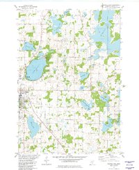
1981 St Michael
Wright County, MN
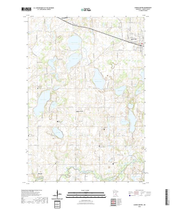
1982 Albion Center
Wright County, MN
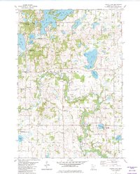
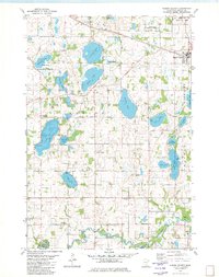
1982 French Lake
Wright County, MN
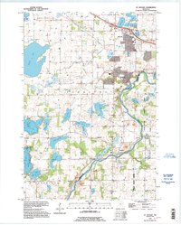
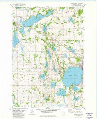
1991 St Michael
Wright County, MN
2022 Albion Center
Wright County, MN
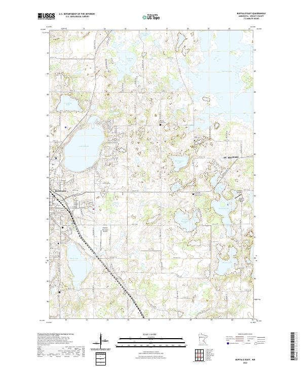
2022 Buffalo East
Wright County, MN
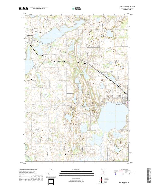
2022 Buffalo West
Wright County, MN
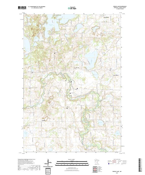
2022 French Lake
Wright County, MN
2022 Saint Michael
Wright County, MN