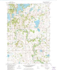
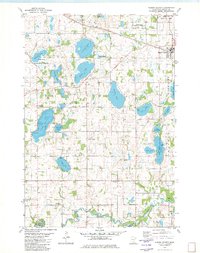
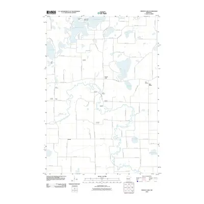
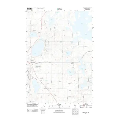
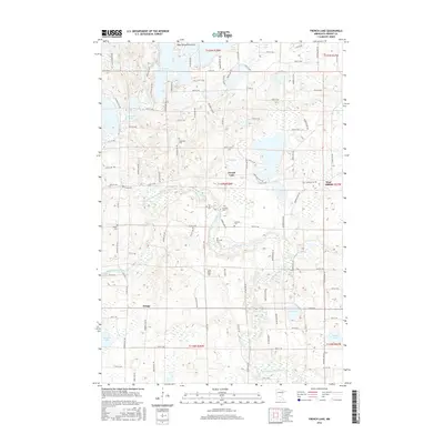
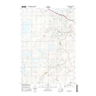
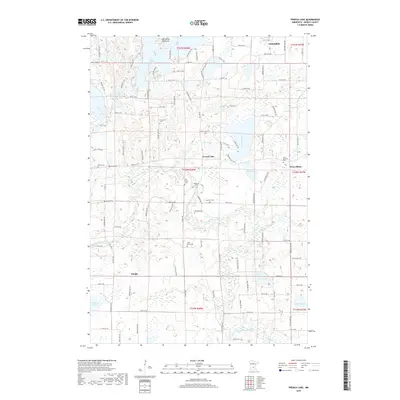
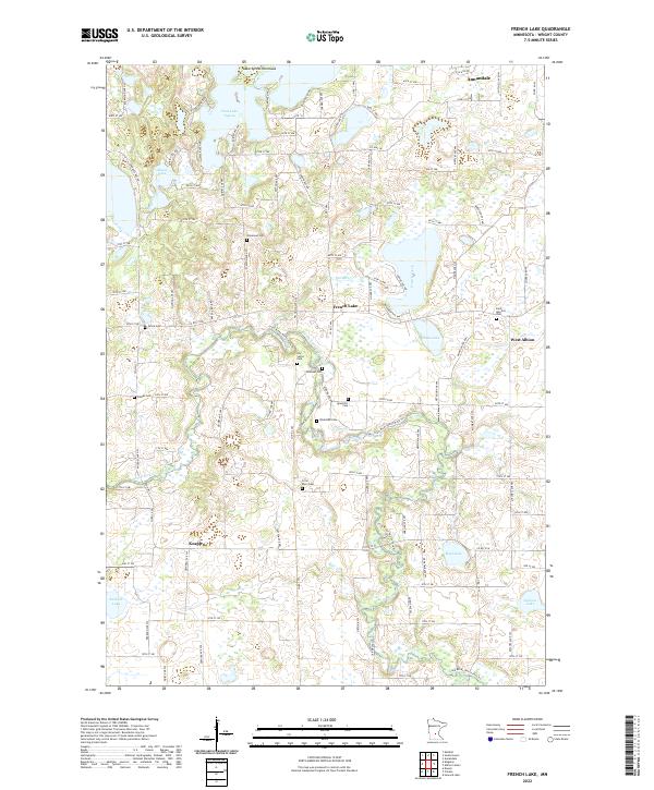
1982 Map of French Lake
USGS Topo · Published 1982About this map
The North Fork Crow River meanders through Wright County, defining a landscape of glacial lakes and rural settlements as they appeared in the early 1980s. This survey records a dense network of country churches and burial grounds that anchor the local heritage, including the National Cem, Riverside Cem, and the St Ignatius Cem near West Albion. Small communities like Knapp and French Lake serve as hubs for the surrounding farmsteads and recreation areas.
Find a feature on this map
45 named features on this map. Tap any name to fly to it.
Don’t see what you’re looking for? This feature index may not catch every label — zoom into the map to look around manually.
Map Details
Editions of this 1982 French Lake Map
This is the sole edition of this map. No revisions or reprints were ever made.
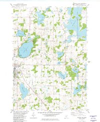
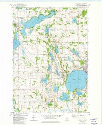
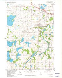
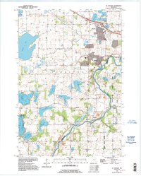
Historical Maps of Annandale Through Time
31 maps found
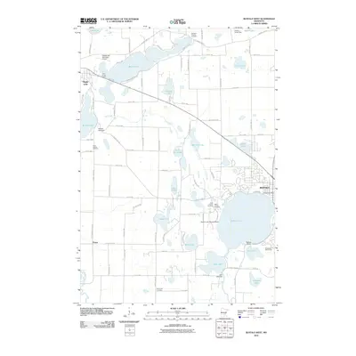
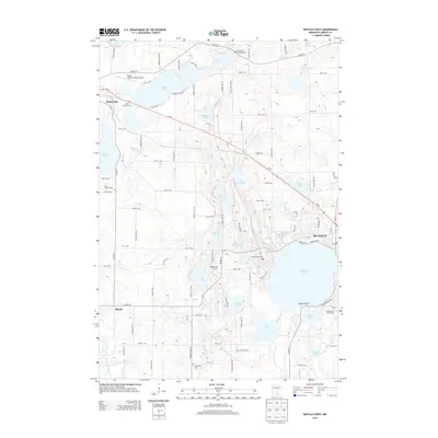
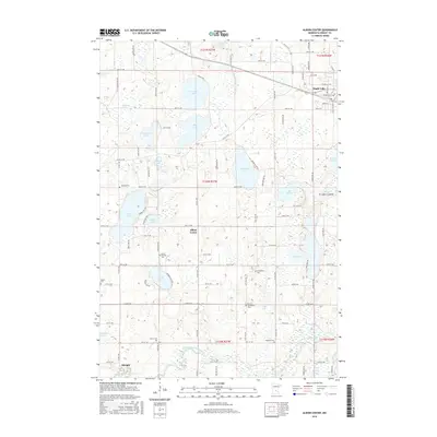
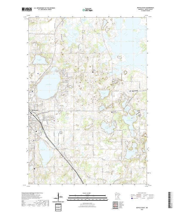
1981 Buffalo East
Wright County, MN
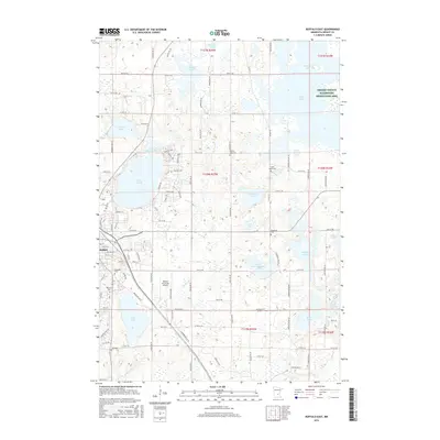
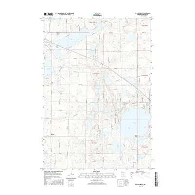
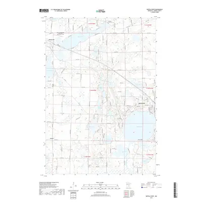
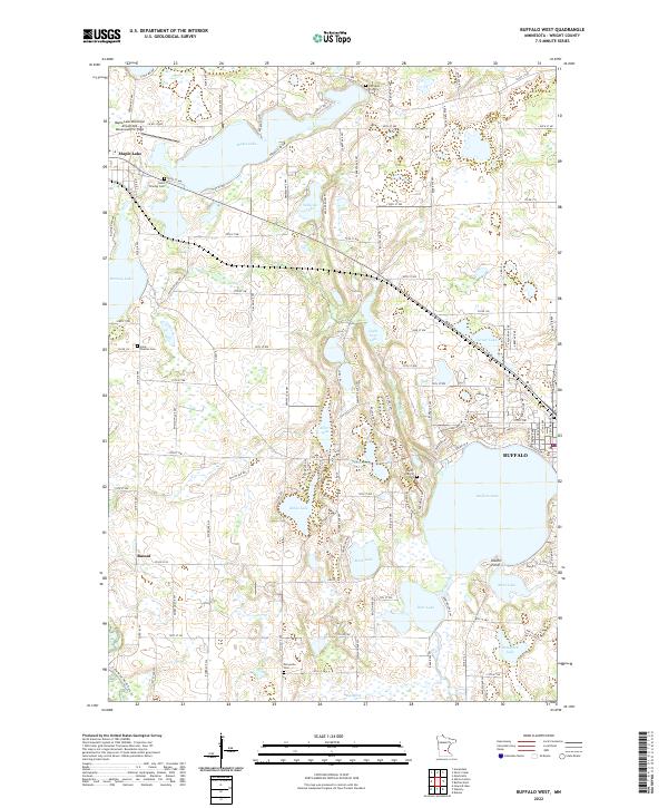
1981 Buffalo West
Wright County, MN
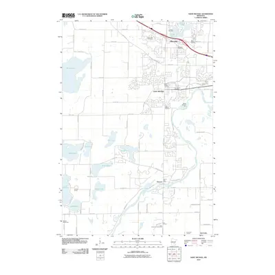
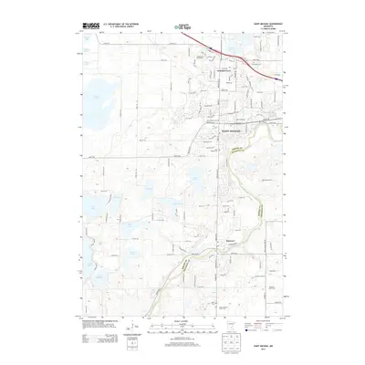
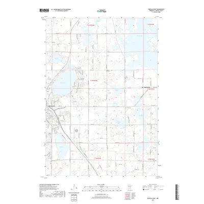
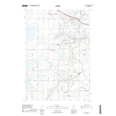
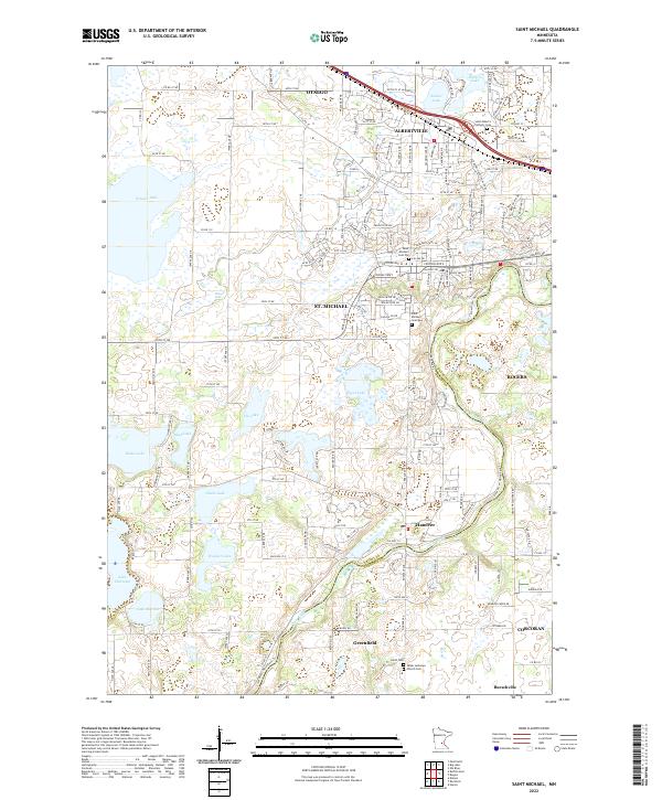
1981 St Michael
Wright County, MN
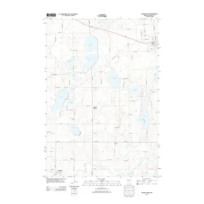
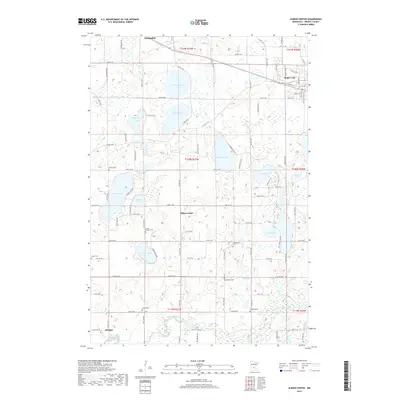
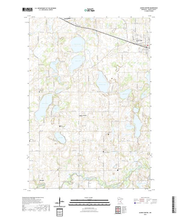
1982 Albion Center
Wright County, MN
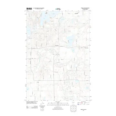
1982 French Lake
Wright County, MN
1991 St Michael
Wright County, MN
2010 Albion Center
Wright County, MN
2010 Buffalo East
Wright County, MN
2010 Buffalo West
Wright County, MN
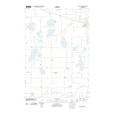
2010 French Lake
Wright County, MN
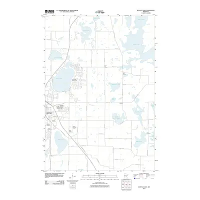
2010 Saint Michael
Wright County, MN
2013 Albion Center
Wright County, MN
2013 Buffalo East
Wright County, MN
2013 Buffalo West
Wright County, MN
2013 French Lake
Wright County, MN
2013 Saint Michael
Wright County, MN
2016 Albion Center
Wright County, MN
2016 Buffalo East
Wright County, MN
2016 Buffalo West
Wright County, MN
2016 French Lake
Wright County, MN
2016 Saint Michael
Wright County, MN
2019 Albion Center
Wright County, MN
2019 Buffalo East
Wright County, MN
2019 Buffalo West
Wright County, MN
2019 French Lake
Wright County, MN
2019 Saint Michael
Wright County, MN
2022 Albion Center
Wright County, MN
2022 Buffalo East
Wright County, MN
2022 Buffalo West
Wright County, MN
2022 French Lake
Wright County, MN
2022 Saint Michael
Wright County, MN
Featured Locations
- Albion Township, MN
- Middleville Township, MN
- Annandale, MN
- Southside Township, MN
- French Lake, French Lake Township