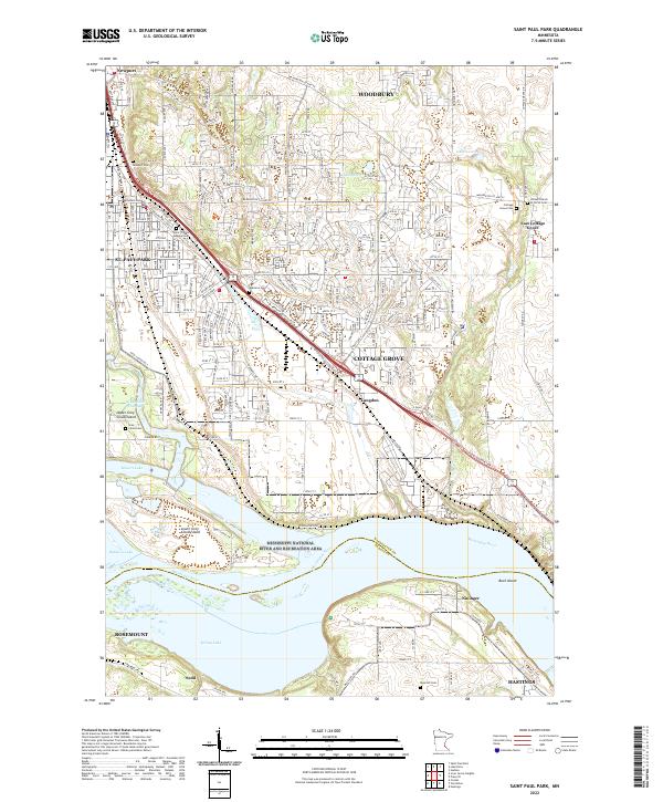
2022 Map of Saint Paul Park
USGS Topo · Published 2022About this map
The Mississippi River carves a complex path through this landscape, separating the residential expansions of Cottage Grove and St. Paul Park from the southern reaches of Rosemount and Hastings. The river corridor is dominated by the Mississippi National River and Recreation Area, which encompasses significant terrain such as Upper Grey Cloud Island and Lower Grey Cloud Island, along with Mooers Lake and Baldwin Lake. For genealogists, the map is remarkably detailed with burial grounds, including Atkinson Cem, Newport Cem, Rose Hill Cem, and the Saint Thomas Aquinas Cem. Transportation history is marked by the Cp RR corridor running parallel to the river and the historic footprint of Langdon, illustrating the evolution of this river-and-rail corridor into a modern suburban network.
Find a feature on this map
181 named features on this map. Tap any name to fly to it.
Don’t see what you’re looking for? This feature index may not catch every label — zoom into the map to look around manually.
Map Details
Editions of this 2022 Saint Paul Park Map
This is the sole edition of this map. No revisions or reprints were ever made.
Other maps of this area

1896 · St. Paul
USGS Topo · 1:62,500

1946 · Hudson
USGS Topo · 1:62,500

1949 · Hudson
USGS Topo · 1:62,500

1949 · Lake Elmo
USGS Topo · 1:24,000

1949 · Hudson
USGS Topo · 1:24,000

1950 · Lake Elmo
USGS Topo · 1:24,000

1950 · Hudson
USGS Topo · 1:24,000

1950 · St Paul Park
USGS Topo · 1:24,000

1951 · St Paul Park
USGS Topo · 1:24,000

1951 · Prescott
USGS Topo · 1:24,000