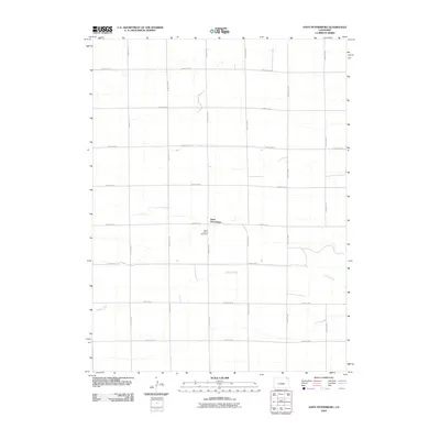
2010 Map of Saint Petersburg
USGS Topo · Published 2010About this map
Saint Petersburg serves as the focal point of this Eastern Plains landscape, situated at the junction of County Rd 18 and County Rd 81. This 2010 survey reveals a classic rural grid pattern defined by long county roads such as County Rd 26 and County Rd 12, which partition the dry land for agricultural use. The intermittent path of Sandy Creek provides the primary natural drainage, winding through the southern and central portions of the quadrangle. For those researching local heritage, the Saint Peters Cemetery is a critical landmark, located just south of the main settlement. The map illustrates a quiet era of high-plains settlement, where the infrastructure is dominated by a systematic road network designed to connect isolated farmsteads and small rural communities.
Find a feature on this map
17 named features on this map. Tap any name to fly to it.
Don’t see what you’re looking for? This feature index may not catch every label — zoom into the map to look around manually.
Map Details
Editions of this 2010 Saint Petersburg Map
This is the sole edition of this map. No revisions or reprints were ever made.
Other maps of this area

1954 · Sterling
USGS Topo · 1:250,000

1958 · Sterling
USGS Topo · 1:250,000

1962 · Fleming
USGS Topo · 1:24,000

1962 · Uhler Ranch
USGS Topo · 1:24,000

1962 · Haxtun West
USGS Topo · 1:24,000

1972 · Clarkville
USGS Topo · 1:24,000

1972 · New Haven
USGS Topo · 1:24,000

1972 · Glacken Hill
USGS Topo · 1:24,000

1972 · St Petersburg
USGS Topo · 1:24,000

1972 · Rockland
USGS Topo · 1:24,000