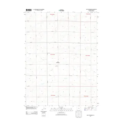
2013 Map of Saint Petersburg
USGS Topo · Published 2013About this map
Saint Petersburg stands as the primary community in this portion of Logan County, characterized by a grid-like network of rural roads that crisscross the high plains of northeastern Colorado. The settlement is centered near the historic Saint Peters Cem, serving as a vital point of reference for family historians and genealogists researching the residents of this agricultural region. The landscape is defined by the ephemeral path of Sandy Creek, which winds eastward across the township boundaries. The strictly organized public land survey system is evident here, with roads such as CO Road 18 and CO Road 81 following section lines to facilitate local transit between isolated farmsteads and the open range.
Find a feature on this map
23 named features on this map. Tap any name to fly to it.
Don’t see what you’re looking for? This feature index may not catch every label — zoom into the map to look around manually.
Map Details
Editions of this 2013 Saint Petersburg Map
This is the sole edition of this map. No revisions or reprints were ever made.
Other maps of this area

1954 · Sterling
USGS Topo · 1:250,000

1958 · Sterling
USGS Topo · 1:250,000

1962 · Fleming
USGS Topo · 1:24,000

1962 · Uhler Ranch
USGS Topo · 1:24,000

1962 · Haxtun West
USGS Topo · 1:24,000

1972 · Clarkville
USGS Topo · 1:24,000

1972 · New Haven
USGS Topo · 1:24,000

1972 · Glacken Hill
USGS Topo · 1:24,000

1972 · St Petersburg
USGS Topo · 1:24,000

1972 · Rockland
USGS Topo · 1:24,000