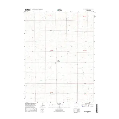
2016 Map of Saint Petersburg
USGS Topo · Published 2016About this map
Saint Petersburg serves as the central focal point of this Logan County landscape, a community defined by its remote agricultural character in the high plains of northeastern Colorado. The small settlement is anchored by the nearby Saint Peters Cem, a site of significant interest for genealogists tracing the area's rural pioneers. The surrounding terrain is primarily structured by a rigid section-line road grid, including Co RD 18 and Co RD 81, which partition the dry land. Water is a scarce but defining element, marked by the winding course of Sandy Cr as it meanders through the southern half of the quadrangle. This 2016 survey provides a precise look at the township and range divisions, showing how land ownership and transport have adapted to the semi-arid environment between the Platte River valley and the state's eastern borders.
Find a feature on this map
24 named features on this map. Tap any name to fly to it.
Don’t see what you’re looking for? This feature index may not catch every label — zoom into the map to look around manually.
Map Details
Editions of this 2016 Saint Petersburg Map
This is the sole edition of this map. No revisions or reprints were ever made.
Other maps of this area

1954 · Sterling
USGS Topo · 1:250,000

1958 · Sterling
USGS Topo · 1:250,000

1962 · Fleming
USGS Topo · 1:24,000

1962 · Uhler Ranch
USGS Topo · 1:24,000

1962 · Haxtun West
USGS Topo · 1:24,000

1972 · Clarkville
USGS Topo · 1:24,000

1972 · New Haven
USGS Topo · 1:24,000

1972 · Glacken Hill
USGS Topo · 1:24,000

1972 · St Petersburg
USGS Topo · 1:24,000

1972 · Rockland
USGS Topo · 1:24,000