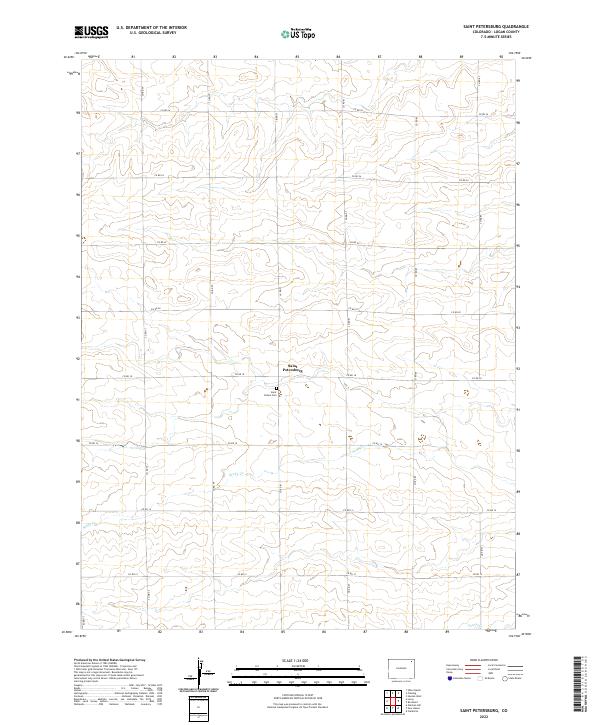
2022 Map of Saint Petersburg
USGS Topo · Published 2022About this map
Saint Petersburg and its surrounding agricultural landscape are defined by a rhythmic grid of section lines and county roads in this remote section of Logan County. The terrain is shaped by the gentle drainage of Sandy Cr and Patent Cr, which carve subtle contours across the high plains. Central to the local genealogy and history of the area is Saint Peters Cem, situated just south of the primary settlement. The map illustrates a highly organized rural infrastructure, where routes like Co RD 81 and Co RD 18 serve as the primary conduits for this expansive ranching and farming community. The absence of heavy industrial development or dense urbanization highlights the enduring character of the Colorado plains, where land divisions remain largely unchanged over decades of cultivation.
Find a feature on this map
25 named features on this map. Tap any name to fly to it.
Don’t see what you’re looking for? This feature index may not catch every label — zoom into the map to look around manually.
Map Details
Editions of this 2022 Saint Petersburg Map
This is the sole edition of this map. No revisions or reprints were ever made.
Other maps of this area

1954 · Sterling
USGS Topo · 1:250,000

1958 · Sterling
USGS Topo · 1:250,000

1962 · Fleming
USGS Topo · 1:24,000

1962 · Uhler Ranch
USGS Topo · 1:24,000

1962 · Haxtun West
USGS Topo · 1:24,000

1972 · Clarkville
USGS Topo · 1:24,000

1972 · New Haven
USGS Topo · 1:24,000

1972 · Glacken Hill
USGS Topo · 1:24,000

1972 · St Petersburg
USGS Topo · 1:24,000

1972 · Rockland
USGS Topo · 1:24,000