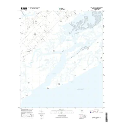
2017 Map of Saint Phillips Island
USGS Topo · Published 2017About this map
Saint Helena Island and its surrounding coastal archipelago define this maritime landscape in the South Carolina Lowcountry. The map details the intricate network of tidal waterways, including Harbor River, Station Cr, and Trenchards Inlet, which separate the mainland from barrier islands like Saint Phillips Island and Pritchards Island. On the northern end of the sheet, small settlements like Longwood and Scott are situated along roads such as Lands End Rd and Seaside Rd. Genealogy and local history researchers will find several family and community landmarks, most notably the Frogmore Cem, Orange Grove Cem, Pritchard Cem, and Tombee Cem. These features, combined with named terrain points like Bull Point on Bay Point Island, document the settlement patterns and geographic boundaries of Beaufort County as they stood in 2017.
Find a feature on this map
52 named features on this map. Tap any name to fly to it.
Don’t see what you’re looking for? This feature index may not catch every label — zoom into the map to look around manually.
Map Details
Editions of this 2017 Saint Phillips Island Map
This is the sole edition of this map. No revisions or reprints were ever made.
Other maps of this area

1920 · St. Helena Sound
USGS Topo · 1:62,500

1920 · Hilton Head
USGS Topo · 1:62,500

1944 · Fort Fremont
USGS Topo · 1:62,500

1945 · Hilton Head
USGS Topo · 1:62,500

1947 · Savannah
USGS Topo · 1:250,000

1948 · St. Helena Sound
USGS Topo · 1:62,500

1948 · Savannah
USGS Topo · 1:250,000

1956 · Frogmore
USGS Topo · 1:24,000
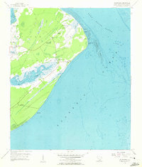
1956 · Hilton Head
USGS Topo · 1:24,000
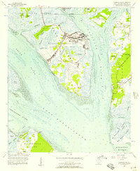
1956 · Parris Island
USGS Topo · 1:24,000