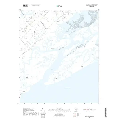
2020 Map of Saint Phillips Island
USGS Topo · Published 2020About this map
Saint Helena Island and the surrounding Sea Islands appear as a complex network of marshes, tidal creeks, and small settlements in this 2020 study of coastal South Carolina. On the northern portion of the island, family landmarks and local history are preserved in several burial grounds, including Frogmore Cem, Pritchard Cem, and Orange Grove Cem. The landscape is defined by the shifting interface between land and the Atlantic Ocean, where significant waterways like the Harbor River and Station Creek isolate islands such as Sheep Island and the protected terrain of Saint Phillips Island. Small communities like Longwood and Scott are connected by rural routes such as Seaside Rd and Lands End Rd, reflecting the modern road network laid over a geography shaped by the Story River and Skull Creek. This map captures the precise shoreline and inlet positions, including Trenchards Inlet and Pritchards Inlet, which are critical for understanding the evolving coastal topography of Beaufort County.
Find a feature on this map
56 named features on this map. Tap any name to fly to it.
Don’t see what you’re looking for? This feature index may not catch every label — zoom into the map to look around manually.
Map Details
Editions of this 2020 Saint Phillips Island Map
This is the sole edition of this map. No revisions or reprints were ever made.
Other maps of this area

1920 · St. Helena Sound
USGS Topo · 1:62,500

1920 · Hilton Head
USGS Topo · 1:62,500

1944 · Fort Fremont
USGS Topo · 1:62,500

1945 · Hilton Head
USGS Topo · 1:62,500

1947 · Savannah
USGS Topo · 1:250,000

1948 · St. Helena Sound
USGS Topo · 1:62,500

1948 · Savannah
USGS Topo · 1:250,000

1956 · Frogmore
USGS Topo · 1:24,000
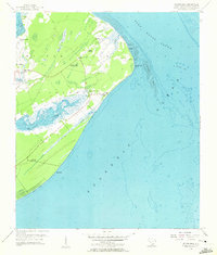
1956 · Hilton Head
USGS Topo · 1:24,000
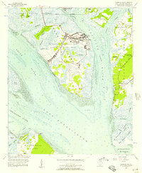
1956 · Parris Island
USGS Topo · 1:24,000