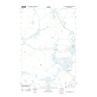
2013 Map of Saint Regis Mountain
USGS Topo · Published 2013About this map
Saint Regis Mountain and Jenkins Mountain anchor this survey of the lake-rich landscape north of Lake Clear. This area is defined by its deep connection to academic and recreational history, centered around the Paul Smiths Coll Of Arts And Science at the edge of Lower Saint Regis Lake. The map details an intricate network of water bodies, including Spitfire Lake and Upper Saint Regis Lake, which are linked by narrow channels and historical portages like St Regis Carry Rd.
Find a feature on this map
58 named features on this map. Tap any name to fly to it.
Don’t see what you’re looking for? This feature index may not catch every label — zoom into the map to look around manually.
Map Details
Editions of this 2013 Saint Regis Mountain Map
This is the sole edition of this map. No revisions or reprints were ever made.
Other maps of this area

1902 · Saranac
USGS Topo · 1:62,500

1904 · Saranac
USGS Topo · 1:62,500

1905 · Saint Regis
USGS Topo · 1:62,500

1906 · Loon Lake
USGS Topo · 1:62,500

1908 · Loon Lake
USGS Topo · 1:62,500

1921 · Santa Clara
USGS Topo · 1:62,500

1923 · Santa Clara
USGS Topo · 1:62,500

1948 · Ogdensburg
USGS Topo · 1:250,000

1951 · Ogdensburg
USGS Topo · 1:250,000

1953 · Ogdensburg
USGS Topo · 1:250,000