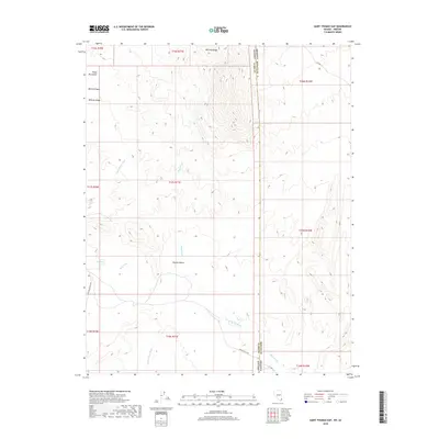
2018 Map of Saint Thomas Gap
USGS Topo · Published 2018About this map
Whitney Ridge and the Virgin Mountains dominate the northern landscape of this borderland, where the high desert terrain of Clark County meets the Mohave County line. The topography is defined by seasonal drainages and dry watercourses, including the descriptively named Pussy Willow Wash, Black Wash, and Mud Wash. This arid environment, part of the northern Mojave Desert, relies on rare water points such as Mud Wells for sustenance in an otherwise parched basin.
Find a feature on this map
23 named features on this map. Tap any name to fly to it.
Don’t see what you’re looking for? This feature index may not catch every label — zoom into the map to look around manually.
Map Details
Editions of this 2018 Saint Thomas Gap Map
This is the sole edition of this map. No revisions or reprints were ever made.
Other maps of this area

1886 · Saint Thomas
USGS Topo · 1:250,000

1886 · Mt. Trumbull
USGS Topo · 1:250,000

1892 · Mt. Trumbull
USGS Topo · 1:250,000

1893 · Saint Thomas
USGS Topo · 1:250,000

1926 · Bonelli
USGS Topo · 1:96,000

1953 · Gold Butte
USGS Topo · 1:62,500

1953 · Grand Canyon
USGS Topo · 1:250,000

1954 · Las Vegas
USGS Topo · 1:250,000

1954 · Littlefield 3 SW
USGS Topo · 1:24,000

1954 · Cane Springs
USGS Topo · 1:62,500