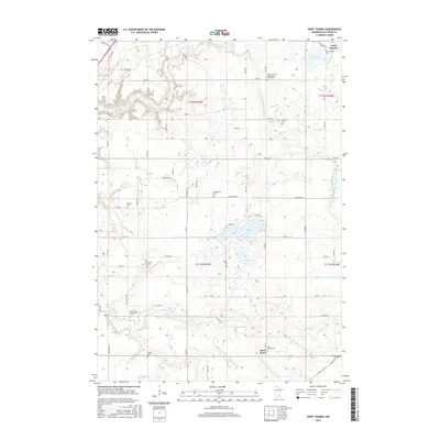
2016 Map of Saint Thomas
USGS Topo · Published 2016About this map
Saint Thomas and Saint Henry anchor this rural landscape in Le Sueur County, where the pattern of agricultural settlement is defined by an intricate network of drainage and small water bodies. The terrain is notably managed by numerous engineered waterways, including County Ditch Number Thirtyfour and County Ditch Number Fiftyseven, which navigate the space between Rice Lake and Ely Lake.
Find a feature on this map
71 named features on this map. Tap any name to fly to it.
Don’t see what you’re looking for? This feature index may not catch every label — zoom into the map to look around manually.
Map Details
Editions of this 2016 Saint Thomas Map
This is the sole edition of this map. No revisions or reprints were ever made.
Other maps of this area

1953 · Saint Paul
USGS Topo · 1:250,000

1957 · Belle Plaine
USGS Topo · 1:62,500

1957 · New Prague
USGS Topo · 1:62,500

1959 · Saint Paul
USGS Topo · 1:250,000

1965 · Cleveland
USGS Topo · 1:24,000
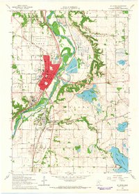
1965 · St Peter
USGS Topo · 1:24,000

1965 · Le Sueur
USGS Topo · 1:24,000

1965 · St Thomas
USGS Topo · 1:24,000

1966 · Cordova
USGS Topo · 1:24,000

1966 · Le Center
USGS Topo · 1:24,000