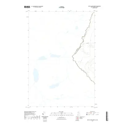
2021 Map of Saint Zacharie North
USGS Topo · Published 2021About this map
The international border between Canada and the United States follows the winding path of the Southwest Br Saint John River through this isolated stretch of Somerset County. This 2021 survey shows a landscape dominated by timberland operations and natural hydrology, where human activity is largely defined by the forest economy. The prominent Hurricane Hill rises in the southeast, while the Baker Lake Rd provides one of the few managed transportation corridors through the dense terrain. The map captures the precise intersection of the river's meandering course and the surveyed boundary line, documenting the modern hydrography of the North Woods before the river descends toward the larger Saint John basin.
Find a feature on this map
4 named features on this map. Tap any name to fly to it.
Don’t see what you’re looking for? This feature index may not catch every label — zoom into the map to look around manually.
Map Details
Editions of this 2021 Saint Zacharie North Map
This is the sole edition of this map. No revisions or reprints were ever made.
Other maps of this area

1957 · Norris Brook
USGS Topo · 1:62,500

1957 · Hardwood Mountain
USGS Topo · 1:62,500

1957 · Saint Zacharie
USGS Topo · 1:62,500

1962 · Quebec
USGS Topo · 1:250,000
1986 · Lac Etchemin
USGS Topo · 1:100,000
1989 · Hurricane Pond
USGS Topo · 1:24,000
1989 · Black Brook
USGS Topo · 1:24,000
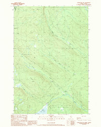
1989 · Hurricane Hill
USGS Topo · 1:24,000
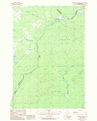
1989 · Hardwood Mountain SW
USGS Topo · 1:24,000
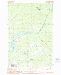
1989 · St. Zacharie North
USGS Topo · 1:24,000