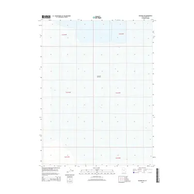
2014 Map of Salduro SW
USGS Topo · Published 2014About this map
Great Salt Lake Desert dominates this 2014 survey, offering a precise view of one of the most stark and desolate landscapes in North America. Located in Tooele County, the map provides a grid-based study of the salt flats as they appeared in the early 21st century. The terrain is marked by extreme flatness, with subtle contour variations noted only at the 10-foot interval. This sheet serves as a clear record of the Public Land Survey System divisions, delineating townships such as t3s r19w and t2s r18w. The absence of roads, structures, or named water bodies highlights the inhospitable nature of this portion of the desert, where the vast salt crust remains the primary geographic feature.
Find a feature on this map
7 named features on this map. Tap any name to fly to it.
Don’t see what you’re looking for? This feature index may not catch every label — zoom into the map to look around manually.
Map Details
Editions of this 2014 Salduro SW Map
This is the sole edition of this map. No revisions or reprints were ever made.
Other maps of this area

1953 · Tooele
USGS Topo · 1:250,000

1955 · Tooele
USGS Topo · 1:250,000

1955 · Elko
USGS Topo · 1:250,000

1958 · Elko
USGS Topo · 1:250,000

1962 · Elko
USGS Topo · 1:250,000

1965 · Elko
USGS Topo · 1:250,000

1972 · Ferguson Flat
USGS Topo · 1:24,000
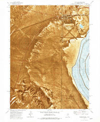
1972 · Wendover
USGS Topo · 1:24,000
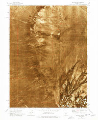
1972 · Wendover SE
USGS Topo · 1:24,000
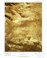
1972 · Elephant Knoll NW
USGS Topo · 1:24,000