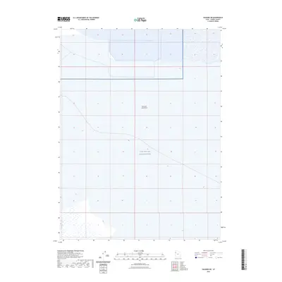
2023 Map of Salduro SW
USGS Topo · Published 2023About this map
Great Salt Lake Desert dominates the landscape of this region in Tooele County, Utah, where the terrain is defined by its extreme flatness and sparse topographical features. This specific quadrangle covers a significant portion of the Utah Test and Training Range, a restricted military area that underscores the 21st-century role of these salt flats in national defense and aerospace testing. The map provides a stark visualization of the vast, open expanses characteristic of the western desert, where natural water features are largely absent and human infrastructure is limited to the perimeter of the military reservation. It is a specialized study of a specialized environment, tracing the modern boundaries of one of the largest overland safety footprints in the United States.
Find a feature on this map
2 named features on this map. Tap any name to fly to it.
Don’t see what you’re looking for? This feature index may not catch every label — zoom into the map to look around manually.
Map Details
Editions of this 2023 Salduro SW Map
This is the sole edition of this map. No revisions or reprints were ever made.
Other maps of this area

1953 · Tooele
USGS Topo · 1:250,000

1955 · Tooele
USGS Topo · 1:250,000

1955 · Elko
USGS Topo · 1:250,000

1958 · Elko
USGS Topo · 1:250,000

1962 · Elko
USGS Topo · 1:250,000

1965 · Elko
USGS Topo · 1:250,000

1972 · Ferguson Flat
USGS Topo · 1:24,000
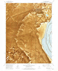
1972 · Wendover
USGS Topo · 1:24,000
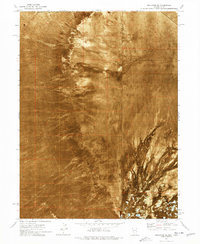
1972 · Wendover SE
USGS Topo · 1:24,000
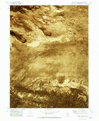
1972 · Elephant Knoll NW
USGS Topo · 1:24,000