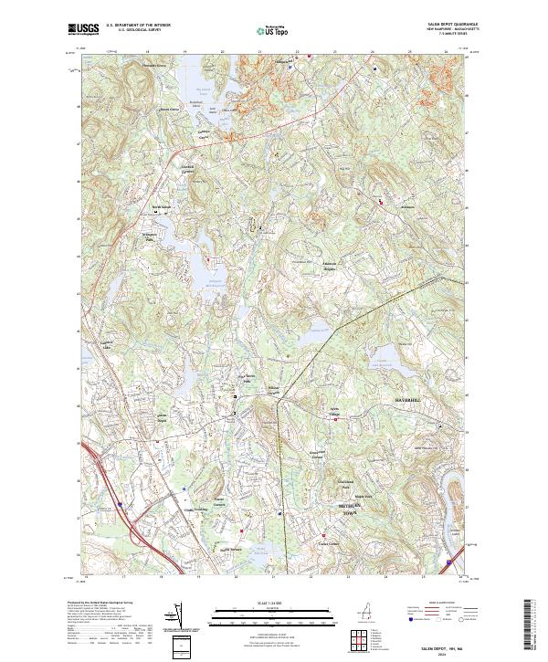
2024 Map of Salem Depot
USGS Topo · Published 2024About this map
The Spicket River and its various impoundments define the landscape of southern New Hampshire as it transitions into Massachusetts. This modern survey captures the densely settled corridor of Salem Depot and North Salem, where historical landmarks like the Salem Center Burying Ground and Mount Pleasant Cem sit alongside established residential tracts. The area is characterized by numerous small lakeside communities and landings such as Howards Grove, Chases Grove, and Conleys Grove on the shores of Big Island Pond, reflecting a long history of water-based recreation and settlement.
Find a feature on this map
349 named features on this map. Tap any name to fly to it.
Don’t see what you’re looking for? This feature index may not catch every label — zoom into the map to look around manually.
Map Details
Editions of this 2024 Salem Depot Map
This is the sole edition of this map. No revisions or reprints were ever made.
Other maps of this area

1886 · Lawrence
USGS Topo · 1:62,500

1886 · Lowell
USGS Topo · 1:62,500

1888 · Haverhill
USGS Topo · 1:62,500

1888 · Lawrence
USGS Topo · 1:62,500

1890 · Haverhill
USGS Topo · 1:62,500

1893 · Lowell
USGS Topo · 1:62,500

1893 · Lawrence
USGS Topo · 1:62,500

1893 · Haverhill
USGS Topo · 1:62,500

1905 · Manchester
USGS Topo · 1:62,500

1918 · Lowell
USGS Topo · 1:62,500