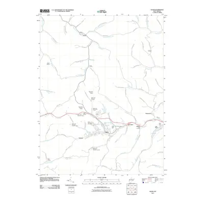
2011 Map of Salem
USGS Topo · Published 2011About this map
Salem International University serves as a central anchor for this Harrison County landscape, where the town of Salem is bordered by the smaller communities of Industrial and East Salem. The area is defined by its complex drainage network, primarily centered on Salem Fork and its numerous flood control structures, including Salem Fork Structure 12 Dam and Salem Fork Site Number 11 Dam. These engineering works help manage the waters of Salem Auxiliary Lake near the city center and the residential enclave at Lake Floyd to the east.
Find a feature on this map
108 named features on this map. Tap any name to fly to it.
Don’t see what you’re looking for? This feature index may not catch every label — zoom into the map to look around manually.
Map Details
Editions of this 2011 Salem Map
This is the sole edition of this map. No revisions or reprints were ever made.
Other maps of this area

1902 · Clarksburg
USGS Topo · 1:62,500

1904 · Weston
USGS Topo · 1:62,500

1904 · Vadis
USGS Topo · 1:62,500

1905 · Centerpoint
USGS Topo · 1:62,500

1910 · Clarksburg
USGS Topo · 1:62,500

1923 · Clarksburg
USGS Topo · 1:62,500

1924 · Centerpoint
USGS Topo · 1:62,500

1925 · Clarksburg
USGS Topo · 1:62,500

1925 · Centerpoint
USGS Topo · 1:62,500

1925 · Vadis
USGS Topo · 1:62,500