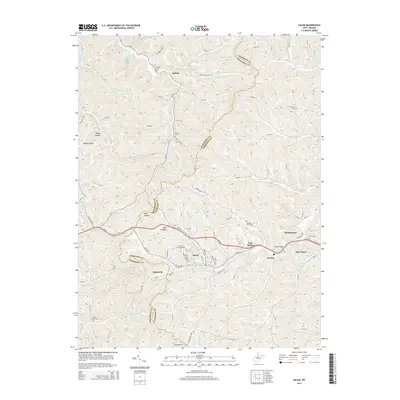
2014 Map of Salem
USGS Topo · Published 2014About this map
The Salem Fork valley serves as the primary corridor for development in this West Virginia landscape, anchoring the city of Salem and its neighbor, East Salem. This area is characterized by a dense network of narrow runs and hollows, such as Dark Hollow and Robey Hollow, which separate the various residential and academic hubs. The presence of Salem International Univ and the named community of Industrial highlights the area's dual identity as a center for both education and regional commerce.
Find a feature on this map
58 named features on this map. Tap any name to fly to it.
Don’t see what you’re looking for? This feature index may not catch every label — zoom into the map to look around manually.
Map Details
Editions of this 2014 Salem Map
This is the sole edition of this map. No revisions or reprints were ever made.
Other maps of this area

1902 · Clarksburg
USGS Topo · 1:62,500

1904 · Weston
USGS Topo · 1:62,500

1904 · Vadis
USGS Topo · 1:62,500

1905 · Centerpoint
USGS Topo · 1:62,500

1910 · Clarksburg
USGS Topo · 1:62,500

1923 · Clarksburg
USGS Topo · 1:62,500

1924 · Centerpoint
USGS Topo · 1:62,500

1925 · Clarksburg
USGS Topo · 1:62,500

1925 · Centerpoint
USGS Topo · 1:62,500

1925 · Vadis
USGS Topo · 1:62,500