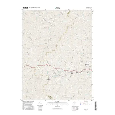
2016 Map of Salem
USGS Topo · Published 2016About this map
Salem and its neighboring communities are captured in this topographical overview of western Harrison and eastern Doddridge counties. The town of Salem, anchored by the Salem International Univ, serves as the primary hub along the corridor of Salem Fork. Moving east, the settlements of East Salem, Bristol, and the uniquely named Flinderation follow the course of the valley, while the industrial heritage of the region is signaled by the village of Industrial.
Find a feature on this map
121 named features on this map. Tap any name to fly to it.
Don’t see what you’re looking for? This feature index may not catch every label — zoom into the map to look around manually.
Map Details
Editions of this 2016 Salem Map
This is the sole edition of this map. No revisions or reprints were ever made.
Other maps of this area

1902 · Clarksburg
USGS Topo · 1:62,500

1904 · Weston
USGS Topo · 1:62,500

1904 · Vadis
USGS Topo · 1:62,500

1905 · Centerpoint
USGS Topo · 1:62,500

1910 · Clarksburg
USGS Topo · 1:62,500

1923 · Clarksburg
USGS Topo · 1:62,500

1924 · Centerpoint
USGS Topo · 1:62,500

1925 · Clarksburg
USGS Topo · 1:62,500

1925 · Centerpoint
USGS Topo · 1:62,500

1925 · Vadis
USGS Topo · 1:62,500