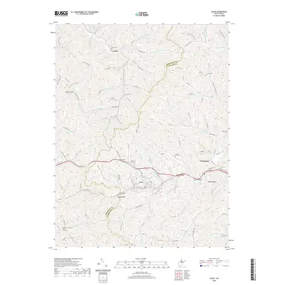
2019 Map of Salem
USGS Topo · Published 2019About this map
The city of Salem serves as the focal point of this Harrison County landscape, where the N Bend Rail-Trail now traces the path once occupied by the railroad, threading through the settlements of Industrial and Bristol. This modern survey illustrates the persistent imprint of nineteenth-century settlement patterns, from the cluster of cemeteries like Knight of Pythias Cem and Enon Cem to the family-named landmarks such as Clayton Hollow Farm.
Find a feature on this map
118 named features on this map. Tap any name to fly to it.
Don’t see what you’re looking for? This feature index may not catch every label — zoom into the map to look around manually.
Map Details
Editions of this 2019 Salem Map
This is the sole edition of this map. No revisions or reprints were ever made.
Other maps of this area

1902 · Clarksburg
USGS Topo · 1:62,500

1904 · Weston
USGS Topo · 1:62,500

1904 · Vadis
USGS Topo · 1:62,500

1905 · Centerpoint
USGS Topo · 1:62,500

1910 · Clarksburg
USGS Topo · 1:62,500

1923 · Clarksburg
USGS Topo · 1:62,500

1924 · Centerpoint
USGS Topo · 1:62,500

1925 · Clarksburg
USGS Topo · 1:62,500

1925 · Centerpoint
USGS Topo · 1:62,500

1925 · Vadis
USGS Topo · 1:62,500