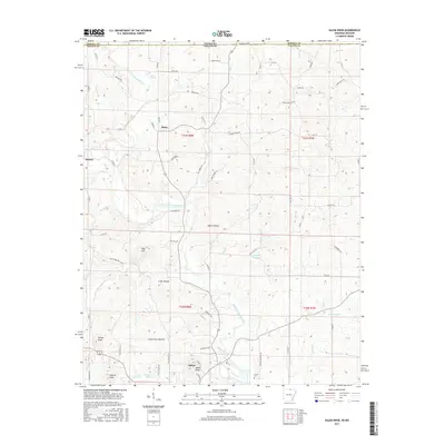
2017 Map of Salem Knob
USGS Topo · Published 2017About this map
The South Fork Spring River carves a winding path through the Ozark highlands of northern Arkansas, defining the drainage patterns for the surrounding communities of Salem, Moko, and Sturkie. This area is characterized by significant topographic relief, with prominent peaks like Salem Knob, Turkey Knob, and Wallace Knob rising above the deep hollows and creek beds. Several notable water bodies, including Winlake Reservoir, Langston Lake, and Courtwright Lake, point to local water management and recreation in a landscape otherwise dominated by seasonal branches and springs like Mint Spring.
Find a feature on this map
80 named features on this map. Tap any name to fly to it.
Don’t see what you’re looking for? This feature index may not catch every label — zoom into the map to look around manually.
Map Details
Editions of this 2017 Salem Knob Map
This is the sole edition of this map. No revisions or reprints were ever made.
Other maps of this area

1943 · Thayer
USGS Topo · 1:62,500

1944 · West Plains
USGS Topo · 1:62,500

1946 · Thayer
USGS Topo · 1:62,500

1946 · West Plains
USGS Topo · 1:62,500

1950 · Salem
USGS Topo · 1:62,500

1951 · Salem
USGS Topo · 1:62,500

1957 · Poplar Bluff
USGS Topo · 1:250,000

1959 · Poplar Bluff
USGS Topo · 1:250,000

1960 · Poplar Bluff
USGS Topo · 1:250,000

1962 · Agnos
USGS Topo · 1:24,000