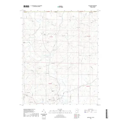
2020 Map of Salem Knob
USGS Topo · Published 2020About this map
Salem serves as the focal point of this northern Arkansas landscape, positioned near the prominent elevation of Salem Knob. The terrain is defined by a dense network of hollows and ridges, with family-named landmarks and small settlements like Moko, Sturkie, and Cornertown scattered across the northern boundary near the Missouri state line. Water travels through the heart of the region via the South Fork Spring River, fed by numerous tributaries including Gravelly Br and Newcomb Br.
Find a feature on this map
86 named features on this map. Tap any name to fly to it.
Don’t see what you’re looking for? This feature index may not catch every label — zoom into the map to look around manually.
Map Details
Editions of this 2020 Salem Knob Map
This is the sole edition of this map. No revisions or reprints were ever made.
Other maps of this area

1943 · Thayer
USGS Topo · 1:62,500

1944 · West Plains
USGS Topo · 1:62,500

1946 · Thayer
USGS Topo · 1:62,500

1946 · West Plains
USGS Topo · 1:62,500

1950 · Salem
USGS Topo · 1:62,500

1951 · Salem
USGS Topo · 1:62,500

1957 · Poplar Bluff
USGS Topo · 1:250,000

1959 · Poplar Bluff
USGS Topo · 1:250,000

1960 · Poplar Bluff
USGS Topo · 1:250,000

1962 · Agnos
USGS Topo · 1:24,000