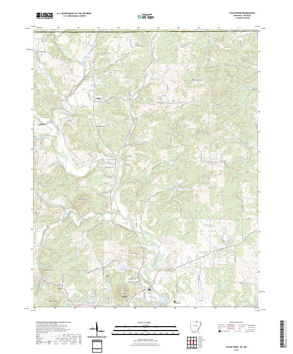
2024 Map of Salem Knob
USGS Topo · Published 2024About this map
The South Fork Spring River and its numerous tributaries, such as Mill Creek and Katy Branch, define the topography of this Ozark landscape. The area is marked by a series of prominent peaks and depressions, including Turkey Knob, Wallace Knob, and the namesake Salem Knob. The settlement pattern centers on the town of Salem in the south, with the smaller communities of Moko and Sturkie situated further north.
Find a feature on this map
86 named features on this map. Tap any name to fly to it.
Don’t see what you’re looking for? This feature index may not catch every label — zoom into the map to look around manually.
Map Details
Editions of this 2024 Salem Knob Map
This is the sole edition of this map. No revisions or reprints were ever made.
Other maps of this area

1943 · Thayer
USGS Topo · 1:62,500

1944 · West Plains
USGS Topo · 1:62,500

1946 · Thayer
USGS Topo · 1:62,500

1946 · West Plains
USGS Topo · 1:62,500

1950 · Salem
USGS Topo · 1:62,500

1951 · Salem
USGS Topo · 1:62,500

1957 · Poplar Bluff
USGS Topo · 1:250,000

1959 · Poplar Bluff
USGS Topo · 1:250,000

1960 · Poplar Bluff
USGS Topo · 1:250,000

1962 · Agnos
USGS Topo · 1:24,000