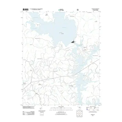
2011 Map of Salem
USGS Topo · Published 2011About this map
Salem and the surrounding Oconee County landscape are defined by the massive reservoirs that submerged parts of this mountain region. The deep waters of Lake Jocassee and Lake Keowee dominate the topography, separated by the engineered Jocassee Dam. This modern survey reveals how the terrain was shaped by these hydroelectric projects, with shoreline developments like Jocassee Landing Dr and Cliffs South Pkwy replacing older mountain homesteads.
Find a feature on this map
123 named features on this map. Tap any name to fly to it.
Don’t see what you’re looking for? This feature index may not catch every label — zoom into the map to look around manually.
Map Details
Editions of this 2011 Salem Map
This is the sole edition of this map. No revisions or reprints were ever made.
Other maps of this area

1886 · Walhalla
USGS Topo · 1:125,000

1888 · Pickens
USGS Topo · 1:125,000

1891 · Cowee
USGS Topo · 1:125,000

1892 · Walhalla
USGS Topo · 1:125,000

1894 · Pickens
USGS Topo · 1:125,000

1896 · Walhalla
USGS Topo · 1:125,000

1897 · Cowee
USGS Topo · 1:125,000

1905 · Pisgah
USGS Topo · 1:125,000

1906 · Pisgah
USGS Topo · 1:125,000

1907 · Cowee
USGS Topo · 1:125,000