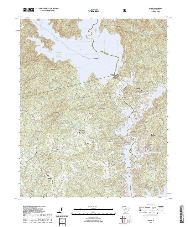
2024 Map of Salem
USGS Topo · Published 2024About this map
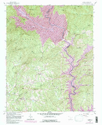
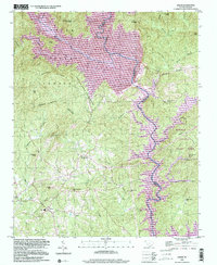
Salem and its surrounding mountain communities sit at the edge of the Blue Ridge Escarpment, where the high waters of Lake Jocassee and Lake Keowee meet the foothills. This landscape is defined by its deep spiritual and community roots, evidenced by numerous small country churches and their associated burial grounds, such as the Salem United Methodist Church Cem and the McKinney Chapel Cem. The topography is a complex network of ridges like Lydia Mtn and Smeltzer Mtn, divided by river systems including the Whitewater River and Keowee River.
Find a feature on this map
74 named features on this map. Tap any name to fly to it.
Don’t see what you’re looking for? This feature index may not catch every label — zoom into the map to look around manually.
Map Details
Editions of this 2024 Salem Map
This is the sole edition of this map. No revisions or reprints were ever made.