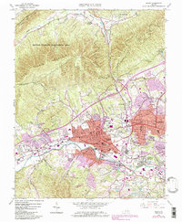
1963 Map of Salem
USGS Topo · Published 1984About this map
Salem sits at the base of the dramatic ridgelines of Fort Lewis Mountain and Brushy Mountain, where the Roanoke River flows through the valley. The map reveals a mid-century community in transition, with industrial infrastructure like the Norfolk and Western Railway and the Veterans Administration Hospital anchoring the urban landscape. Educational and religious cornerstones, such as Roanoke College and Bethel Ch, are centered within a network of growing residential developments like Sunset Village and Beverly Heights.
Find a feature on this map
62 named features on this map. Tap any name to fly to it.
Don’t see what you’re looking for? This feature index may not catch every label — zoom into the map to look around manually.
Map Details
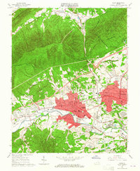
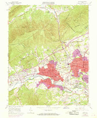
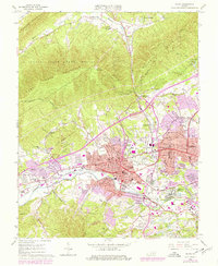
Editions of this 1963 Salem Map
4 editions found
Other maps of this area

1890 · Roanoke
USGS Topo · 1:125,000

1890 · Christiansburg
USGS Topo · 1:125,000

1891 · Roanoke
USGS Topo · 1:125,000

1929 · Roanoke
USGS Topo · 1:48,000

1929 · Salem
USGS Topo · 1:48,000

1932 · Salem
USGS Topo · 1:62,500

1933 · Roanoke
USGS Topo · 1:62,500

1947 · Roanoke
USGS Topo · 1:250,000

1950 · Elliston
USGS Topo · 1:62,500

1951 · Boones Mill
USGS Topo · 1:62,500