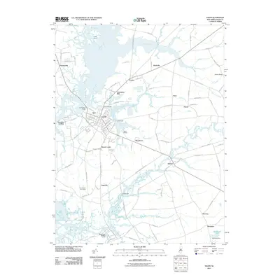
2011 Map of Salem
USGS Topo · Published 2011About this map
Salem is a focal point of this coastal New Jersey landscape, where the confluence of Fenwick Creek and the Salem River defines the town's historic footprint and maritime access. The area's agricultural and industrial legacy is visible through sites like Mannington Mills and the Paruszewski Farm Strip, while Majors Wharf and Sinnickson Landing point to the region's long-standing connection to the surrounding waterways. To the south, Hancocks Bridge sits near the winding course of Alloway Creek, an area rich in early settlement history.
Find a feature on this map
118 named features on this map. Tap any name to fly to it.
Don’t see what you’re looking for? This feature index may not catch every label — zoom into the map to look around manually.
Map Details
Editions of this 2011 Salem Map
This is the sole edition of this map. No revisions or reprints were ever made.
Other maps of this area

1890 · Salem
USGS Topo · 1:62,500

1890 · Bay Side
USGS Topo · 1:62,500

1894 · Bay Side
USGS Topo · 1:62,500

1898 · Salem
USGS Topo · 1:62,500

1899 · Vineland
USGS Topo · 1:125,000

1899 · Dover
USGS Topo · 1:125,000

1901 · Camden
USGS Topo · 1:125,000

1904 · Wilmington
USGS Topo · 1:62,500

1906 · Dover
USGS Topo · 1:125,000

1906 · Wilmington
USGS Topo · 1:62,500
Featured Places
- Pennsville Township, NJ
- Salem, NJ
- Quinton Township, NJ
- Lower Alloways Creek Township, NJ
- Alloway Township, NJ