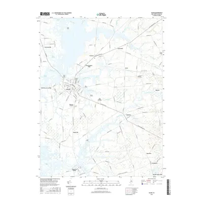
2016 Map of Salem
USGS Topo · Published 2016About this map
Salem sits at the heart of this coastal plain landscape, where the Salem River and its numerous tributaries like Fenwick Creek and Keasbeys Creek define the local geography. The map illustrates a region deeply connected to its waterways, from the Sinnickson Landing on the riverbank to the smaller settlements of Hancocks Bridge and Quinton further inland. These towns are linked by a dense network of country roads such as the Salem Woodstown Rd and Kings Hwy, reflecting centuries of development in Salem County.
Find a feature on this map
134 named features on this map. Tap any name to fly to it.
Don’t see what you’re looking for? This feature index may not catch every label — zoom into the map to look around manually.
Map Details
Editions of this 2016 Salem Map
This is the sole edition of this map. No revisions or reprints were ever made.
Other maps of this area

1890 · Salem
USGS Topo · 1:62,500

1890 · Bay Side
USGS Topo · 1:62,500

1894 · Bay Side
USGS Topo · 1:62,500

1898 · Salem
USGS Topo · 1:62,500

1899 · Vineland
USGS Topo · 1:125,000

1899 · Dover
USGS Topo · 1:125,000

1901 · Camden
USGS Topo · 1:125,000

1904 · Wilmington
USGS Topo · 1:62,500

1906 · Dover
USGS Topo · 1:125,000

1906 · Wilmington
USGS Topo · 1:62,500
Featured Places
- Pennsville Township, NJ
- Salem, NJ
- Quinton Township, NJ
- Lower Alloways Creek Township, NJ
- Alloway Township, NJ