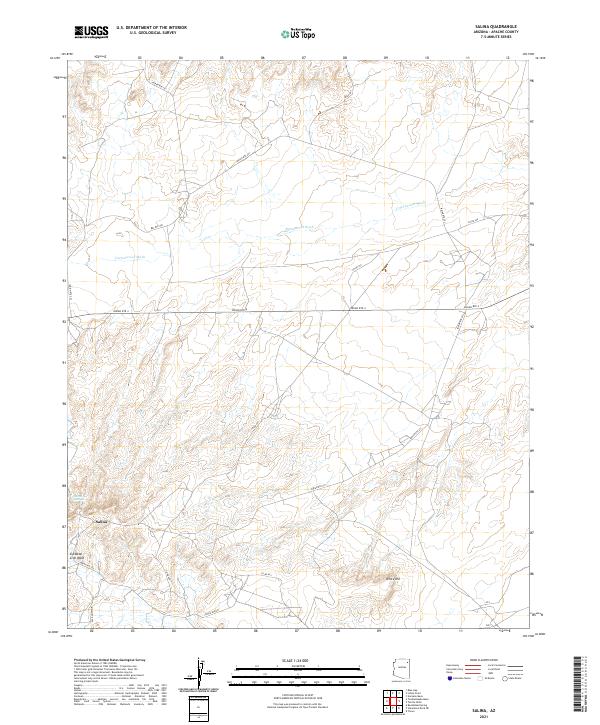
2021 Map of Salina
USGS Topo · Published 2021About this map
Salina serves as a central point of settlement within this high-desert landscape in Apache County, where the terrain is defined by the ephemeral drainage of Cottonwood Wash and the distinct rise of White Hill. A network of Bureau of Indian Affairs and county routes, including Indian Rte 4 and Indian Rte 251, provides the primary infrastructure connecting the local community and surrounding grazing lands. The presence of Salina Springs suggests a vital historical water source in this arid region, while the southern reaches of the map are marked by the Tse Ba Ni Zi Ni Wash. This modern survey by the U.S. Geological Survey documents the ongoing patterns of habitation and transportation within the Navajo Nation as they appeared in the early 2020s, showing a mix of established routes like Bus Rte 440 and seasonal watercourses.
Find a feature on this map
16 named features on this map. Tap any name to fly to it.
Don’t see what you’re looking for? This feature index may not catch every label — zoom into the map to look around manually.
Map Details
Editions of this 2021 Salina Map
This is the sole edition of this map. No revisions or reprints were ever made.
Other maps of this area

1886 · Fort Defiance
USGS Topo · 1:250,000

1892 · Fort Defiance
USGS Topo · 1:250,000

1892 · Canyon De Chelly
USGS Topo · 1:250,000

1954 · Shiprock
USGS Topo · 1:250,000

1954 · Gallup
USGS Topo · 1:250,000

1958 · Gallup
USGS Topo · 1:250,000

1958 · Shiprock
USGS Topo · 1:250,000

1959 · Shiprock
USGS Topo · 1:250,000

1959 · Gallup
USGS Topo · 1:250,000

1962 · Gallup
USGS Topo · 1:250,000