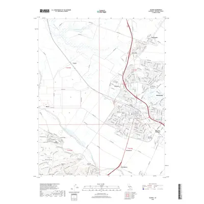
2018 Map of Salinas
USGS Topo · Published 2018About this map
Salinas serves as the focal point of this 2018 survey, reflecting the complex intersection of Monterey County's agricultural heartland and modern urban expansion. The city grid is bounded by a network of drainage and irrigation features like the Main Canal and Alisal Slough, which emphasize the valley's long history as a primary vegetable-producing region. Educational and cultural sites are prominent, including the Hartnell Community College campus and the Independent Order of Odd Fellows Cem.
Find a feature on this map
250 named features on this map. Tap any name to fly to it.
Don’t see what you’re looking for? This feature index may not catch every label — zoom into the map to look around manually.
Map Details
Editions of this 2018 Salinas Map
This is the sole edition of this map. No revisions or reprints were ever made.
Other maps of this area

1910 · Salinas
USGS Topo · 1:31,680

1912 · Salinas
USGS Topo · 1:62,500

1912 · Capitola
USGS Topo · 1:62,500

1913 · Monterey
USGS Topo · 1:62,500

1914 · Capitola
USGS Topo · 1:62,500

1915 · San Juan Bautista
USGS Topo · 1:48,000

1917 · San Juan Bautista
USGS Topo · 1:62,500

1939 · San Juan Bautista
USGS Topo · 1:62,500

1940 · San Juan Bautista
USGS Topo · 1:62,500

1940 · Salinas
USGS Topo · 1:62,500