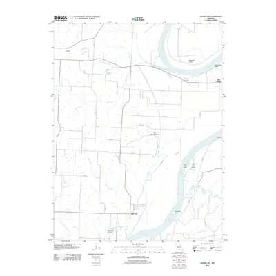
2012 Map of Saline City
USGS Topo · Published 2012About this map
Missouri River hydrology dominates this area of central Missouri, characterized by dramatic meanders and topographical points like Cambridge Bend and Euphrase Bend. The settlement of Saline City sits near the river's edge, positioned where the Buzzard Branch and Fish Creek meet the valley floor. To the north and west, the landscape transitions into a grid of county roads that serve smaller outposts and agricultural tracts, including West Glasgow and the landing area at Bluffport.
Find a feature on this map
41 named features on this map. Tap any name to fly to it.
Don’t see what you’re looking for? This feature index may not catch every label — zoom into the map to look around manually.
Map Details
Editions of this 2012 Saline City Map
This is the sole edition of this map. No revisions or reprints were ever made.
Other maps of this area

1890 · Glasgow
USGS Topo · 1:125,000

1890 · Marshall
USGS Topo · 1:125,000

1892 · Marshall
USGS Topo · 1:125,000

1901 · Marshall
USGS Topo · 1:125,000

1940 · Marshall
USGS Topo · 1:62,500

1944 · Marshall
USGS Topo · 1:62,500

1947 · Glasgow
USGS Topo · 1:62,500
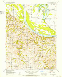
1951 · New Frankfort
USGS Topo · 1:24,000

1953 · Moberly
USGS Topo · 1:250,000

1954 · Moberly
USGS Topo · 1:250,000