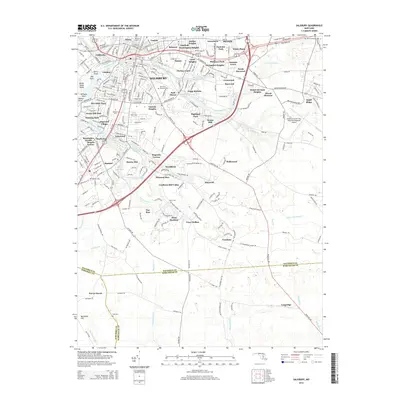
2014 Map of Salisbury
USGS Topo · Published 2014About this map
The Wicomico River serves as the focal point for this 2014 survey, where the urban development of Salisbury branches out into numerous residential heights and neighborhoods. The map reveals a dense network of suburban growth including Livingston Heights, Washington Heights, and Lincoln Heights, interspersed with established institutions like Salisbury Univ. The landscape is defined by its water management history, evidenced by the series of ponds and old mill sites such as Schumaker Pond, Coulbourn Millpond, and Morris Mill Pond.
Find a feature on this map
274 named features on this map. Tap any name to fly to it.
Don’t see what you’re looking for? This feature index may not catch every label — zoom into the map to look around manually.
Map Details
Editions of this 2014 Salisbury Map
This is the sole edition of this map. No revisions or reprints were ever made.
Other maps of this area

1901 · Snow Hill
USGS Topo · 1:62,500

1901 · Salisbury
USGS Topo · 1:62,500

1902 · Pittsville
USGS Topo · 1:62,500

1942 · Princess Anne
USGS Topo · 1:24,000

1942 · Snow Hill
USGS Topo · 1:24,000

1942 · Eden
USGS Topo · 1:24,000

1942 · Wango
USGS Topo · 1:24,000

1942 · Hebron
USGS Topo · 1:24,000

1942 · Dividing Creek
USGS Topo · 1:24,000

1942 · Salisbury
USGS Topo · 1:24,000