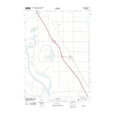
2010 Map of Salix
USGS Topo · Published 2010About this map
Salix serves as the primary settlement on this western Iowa landscape, situated along the diagonal corridor of the modern highway system and the historic Old Hwy 75. This 2010 survey illustrates the organized agricultural grid typical of Woodbury County, punctuated by community landmarks like the Salix Post Office and Saint Josephs Cemetery. The geography is defined by its proximity to the meandering Missouri River to the west, which has left behind significant oxbow features such as Browns Lake and Browers Lake. These water bodies and the network of rural roads like Snyders Bend Rd and Port Neal Rd reveal how the river's historical shifts have shaped both the natural environment and local land use. Further inland, the Liberty Township Cemetery remains a quiet marker of the area's rural heritage amidst the expansive farmsteads.
Find a feature on this map
33 named features on this map. Tap any name to fly to it.
Don’t see what you’re looking for? This feature index may not catch every label — zoom into the map to look around manually.
Map Details
Editions of this 2010 Salix Map
This is the sole edition of this map. No revisions or reprints were ever made.
Other maps of this area

1955 · Sioux City
USGS Topo · 1:250,000

1958 · Sioux City
USGS Topo · 1:250,000

1959 · Sioux City
USGS Topo · 1:250,000

1963 · Sioux City South
USGS Topo · 1:24,000

1964 · Sergeant Bluff
USGS Topo · 1:24,000

1964 · Lawton
USGS Topo · 1:24,000

1964 · Luton
USGS Topo · 1:24,000

1964 · Homer
USGS Topo · 1:24,000

1964 · Salix
USGS Topo · 1:24,000

1966 · Walthill
USGS Topo · 1:24,000