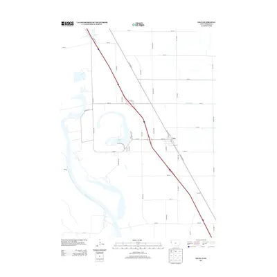
2013 Map of Salix
USGS Topo · Published 2013About this map
The Missouri River defines the western edge of this Woodbury County landscape, where oxbow lakes and modern infrastructure meet the fertile floodplain. Central to the area is Browns Lake, a significant water feature surrounded by local landmarks like Bigelow Park Rd and the uniquely named Skid Row. These wetlands, including Browers Lake to the north, contrast with the rigid grid of rural roads and the industrial presence of Port Neal Rd near the riverbanks.
Find a feature on this map
45 named features on this map. Tap any name to fly to it.
Don’t see what you’re looking for? This feature index may not catch every label — zoom into the map to look around manually.
Map Details
Editions of this 2013 Salix Map
This is the sole edition of this map. No revisions or reprints were ever made.
Other maps of this area

1955 · Sioux City
USGS Topo · 1:250,000

1958 · Sioux City
USGS Topo · 1:250,000

1959 · Sioux City
USGS Topo · 1:250,000

1963 · Sioux City South
USGS Topo · 1:24,000

1964 · Sergeant Bluff
USGS Topo · 1:24,000

1964 · Lawton
USGS Topo · 1:24,000

1964 · Luton
USGS Topo · 1:24,000

1964 · Homer
USGS Topo · 1:24,000

1964 · Salix
USGS Topo · 1:24,000

1966 · Walthill
USGS Topo · 1:24,000