Loading...
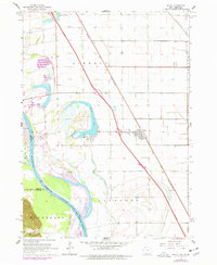
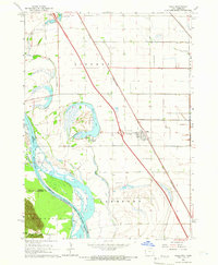
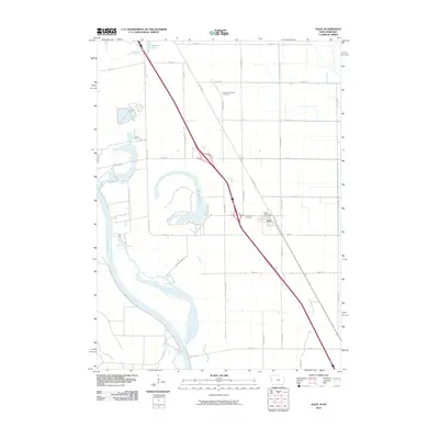
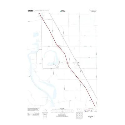
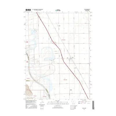
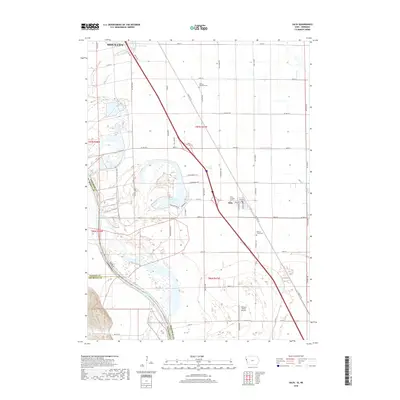
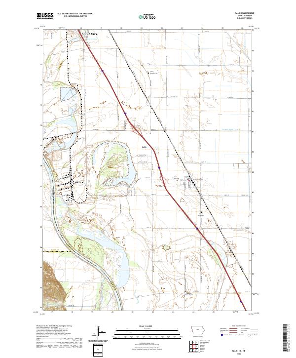
Loading map...1964 Map of Salix
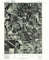
USGS Topo · Published 1977About this map
The Salix townsite serves as the primary hub of this Woodbury County landscape, situated along the Chicago and North Western rail line. The terrain is defined by its relationship with the Missouri River and the complex oxbow curves of Browns Lake, where Browns Lake State Park and a Campground suggest a mid-century shift toward recreation. To the south, the Winnebago Indian Reservation Boundary marks a significant cultural and administrative line across the river valley.
Find a feature on this map
28 named features on this map. Tap any name to fly to it.
Don’t see what you’re looking for? This feature index may not catch every label — zoom into the map to look around manually.
Map Details
Date Portrayed1964
Date Published1977
PublisherU.S. Geological Survey
Map TypeTopographic
Scale1:24,000
Physical Dimensions22 x 26.9 inches
Editions of this 1964 Salix Map
2 editions found
Historical Maps of Sioux City Through Time
7 maps found
Featured Locations
Source Details
SourceU.S. Geological Survey
CopyrightPublic Domain