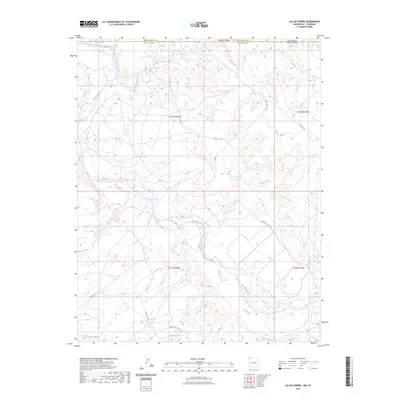
2023 Map of Sallies Spring
USGS Topo · Published 2023About this map
The San Juan River defines this arid landscape near the Four Corners region, where it meets the southward flow of the Mancos River just south of the Colorado border. The terrain is characterized by a complex network of seasonal drainages, including the aptly named Salt Wash, Shoe Game Wash, and Beclabito Wash, which carve through the high desert floor toward the river basin. Human engineering in this environment is represented by the Hogback Canal, a critical irrigation feature diverting water through the southeastern quadrant. This modern mapping also documents a network of rural access routes and utility corridors, such as Pipe Line Rd and BIA Rte 5113, reflecting the ongoing land management and infrastructure needs within the Navajo Nation and surrounding San Juan County.
Find a feature on this map
20 named features on this map. Tap any name to fly to it.
Don’t see what you’re looking for? This feature index may not catch every label — zoom into the map to look around manually.
Map Details
Editions of this 2023 Sallies Spring Map
This is the sole edition of this map. No revisions or reprints were ever made.
Other maps of this area

1886 · Abajo
USGS Topo · 1:250,000

1889 · Chaco
USGS Topo · 1:250,000

1892 · Abajo
USGS Topo · 1:250,000

1892 · Chaco
USGS Topo · 1:250,000

1892 · Canyon De Chelly
USGS Topo · 1:250,000

1893 · Abajo
USGS Topo · 1:250,000

1934 · Rattlesnake
USGS Topo · 1:62,500

1937 · Rattlesnake
USGS Topo · 1:62,500

1953 · Pastora Peak NE
USGS Topo · 1:24,000

1953 · Pastora Peak SE
USGS Topo · 1:24,000