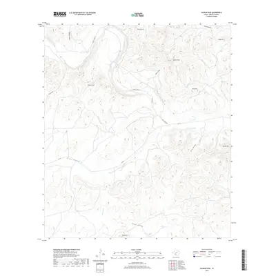
2019 Map of Salmon Peak
USGS Topo · Published 2019About this map
Salmon Peak and the surrounding high ground of Kinney County define this landscape of dramatic elevation changes and seasonal watercourses. The drainage of the West Nueces River carves through the terrain, joined by tributaries such as Nueces Cr and Chalk Cr. This area is characterized by prominent peaks and named gaps, including Soldiers Gap and the high point of Turkey Mtn to the south. Nueces River Rd and RM 334 provide the primary access through these ridges. Evidence of historical land use appears in the naming of wide, relatively flat areas like Grass Valley and tucked-away canyons such as Miguel Canyon. The network of springs, including Sycamore Springs, points to the vital water sources required for ranching and settlement in this semi-arid Texas environment.
Find a feature on this map
26 named features on this map. Tap any name to fly to it.
Don’t see what you’re looking for? This feature index may not catch every label — zoom into the map to look around manually.
Map Details
Editions of this 2019 Salmon Peak Map
This is the sole edition of this map. No revisions or reprints were ever made.
Other maps of this area

1893 · Nueces
USGS Topo · 1:125,000

1896 · Nueces
USGS Topo · 1:125,000

1896 · Brackett
USGS Topo · 1:125,000

1897 · Brackett
USGS Topo · 1:125,000

1938 · Turkey Mountain
USGS Topo · 1:48,000

1943 · Turkey Mountain
USGS Topo · 1:62,500

1944 · Barksdale
USGS Topo · 1:62,500

1944 · Brackettville
USGS Topo · 1:62,500

1944 · Indian Mountain
USGS Topo · 1:62,500

1958 · Del Rio
USGS Topo · 1:250,000